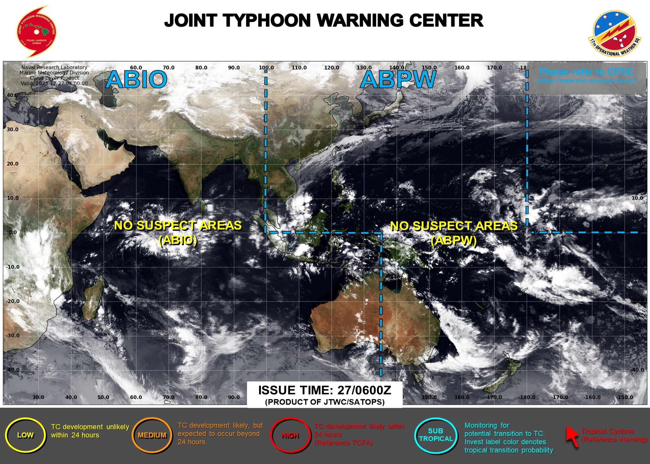
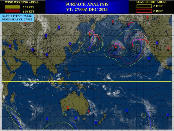
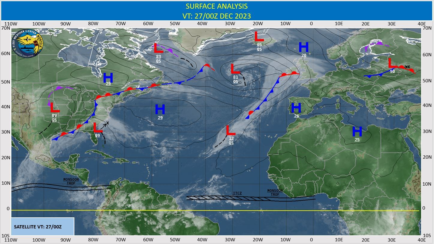
CLICK ON THE IMAGERIES BELOW TO GET THEM ENLARGED
Last Updated - 12/26/23

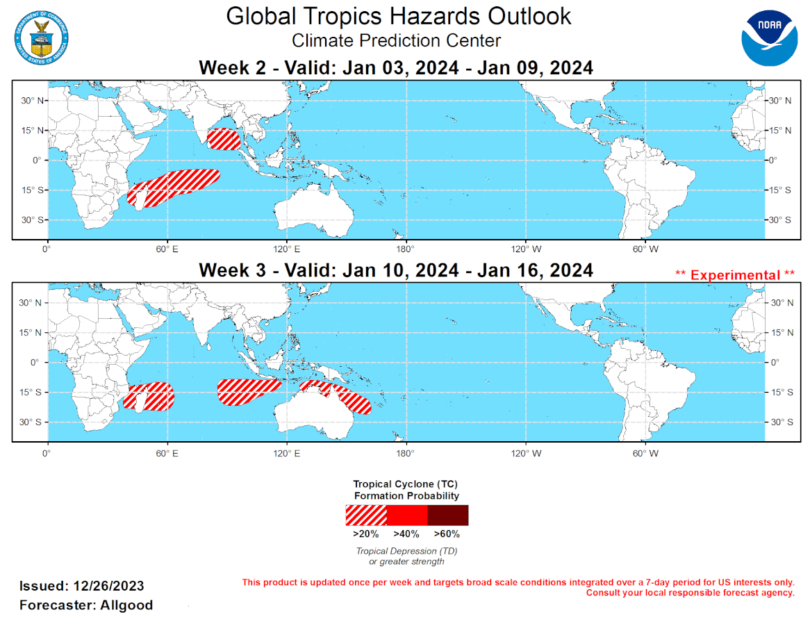
GTH Outlook Discussion Last Updated - 12/26/23 Valid - 01/03/24 - 01/16/24 Recent observations indicate that the Madden-Julian Oscillation (MJO) remains active, with the enhanced convective phase now crossing the Western Hemisphere. Following a brief period of increased incoherence, the upper-level velocity potential signal became more organized over the past few days, with a clear Wave-1 structure now in place, reflected by increased amplitude on the CPC MJO index. The RMM-based index also shows an amplified signal, with a fairly fast eastward propagation across the Western Hemisphere. The low-level wind field is also strongly consistent with MJO activity, with recent constructive interference between the intraseasonal signal and the ongoing El Nino resulting in a strong westerly wind burst (WWB) centered over the equator near the Date Line. Dynamical and statistical model guidance is in remarkably good agreement showing continued MJO evolution over the next few weeks, with the enhanced convective phase crossing the Indian Ocean during Week-2, and possibly the Maritime Continent during Week-3. The GEFS shows the strongest MJO signal, and some of its ensemble members bring a high amplitude MJO signal back to the West Pacific by the end of Week-4. The coherence of the MJO is somewhat unusual given the strength of both the ongoing El Nino and the positive phase of the Indian Ocean Dipole (+IOD). Despite the increasingly cooling upper-oceanic waters in the West Pacific Warm Pool, SSTs across the West Pacific remain near or above-average, and this may be providing sufficient energy to maintain organized convection as the upper-level component of the intraseasonal signal passes through, evidenced by the repeated WWB events. Based on these forecasts, the MJO is favored to play a substantial role in the evolution of the global tropical convective pattern during Weeks 2-3, although the stationary signals (ENSO and the +IOD) will likely continue playing a dominant role in the overall atmospheric response. The MJO will likely destructively interfere with the +IOD signal and ENSO during the outlook period, primarily by disrupting the broad suppressed signal across the Indian Ocean and Maritime Continent. No new tropical cyclones formed during the past week. With the prospect of a coherent MJO signal crossing the Indian Ocean during Week-2, increased chances of tropical cyclogenesis will occur across a wide portion of the Indian Ocean basin. Both composites of historical tropical cyclone activity over the Indian Ocean during previous MJO events and dynamical model guidance show an area of favorability across the south-central Indian Ocean extending southwestward to the Mozambique Channel during Week-2. Additionally, despite a weak climatology, dynamical models indicate at least a slight chance for a tropical cyclone to form over the Bay of Bengal during Week-2. During Week-3, new tropical cyclogenesis or existing tropical cyclone activity is favored to continue across the southwestern Indian Ocean in the vicinity of Madagascar, though favorability decreases as the MJO signal propagates towards the Maritime Continent. Given the destructive interference between the MJO and the ENSO signals, a brief window of favorability may open in the southeastern Indian Ocean and in the vicinity of northern Australia or the Coral Sea.
