Menu

2 week cyclonic development potential: likely for the South Indian, moderate for the Bay of Bengal and Northwest Australia, 30/1730utc update


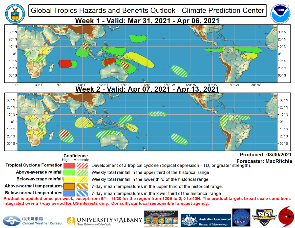
WEEK 1: 31/03 to 06/04. A convectively coupled Kelvin wave is forecast to pass through the MJO and the superposition of these waves will result in enhanced probabilities of tropical cyclone formation over the Indian Ocean during Week-1. There is evidence that La Nina is weakening, which is likely to be enhanced, at least temporarily, by the passage of the MJO over the Western and Central Pacific during the next two weeks. There are several areas of possible tropical cyclone (TC) formation during Weeks-1 and 2. Due to the aforementioned superposition of the MJO and Kelvin wave, there is a high risk of TC development over the western Indian Ocean and a moderate risk for TC development in the Bay of Bengal during Week-1.


WEEK 1: 31/03 to 06/04. A convectively coupled Kelvin wave is forecast to pass through the MJO and the superposition of these waves will result in enhanced probabilities of tropical cyclone formation over the Indian Ocean during Week-1. There is evidence that La Nina is weakening, which is likely to be enhanced, at least temporarily, by the passage of the MJO over the Western and Central Pacific during the next two weeks.  There are several areas of possible tropical cyclone (TC) formation during Weeks-1 and 2. Due to the aforementioned superposition of the MJO and Kelvin wave, there is a high risk of TC development over the western Indian Ocean and a moderate risk for TC development in the Bay of Bengal during Week-1.
WEEK 1: 31/03 to 06/04. A convectively coupled Kelvin wave is forecast to pass through the MJO and the superposition of these waves will result in enhanced probabilities of tropical cyclone formation over the Indian Ocean during Week-1. There is evidence that La Nina is weakening, which is likely to be enhanced, at least temporarily, by the passage of the MJO over the Western and Central Pacific during the next two weeks. There are several areas of possible tropical cyclone (TC) formation during Weeks-1 and 2. Due to the aforementioned superposition of the MJO and Kelvin wave, there is a high risk of TC development over the western Indian Ocean and a moderate risk for TC development in the Bay of Bengal during Week-1.
Issued at 30/1730UTC by NOAA.
In collaboration with the JTWC and several well known organizations.

 Archives: HERE

Cheers,
Patrick Hoareau
M974World
ILES SOEURS

Cyclone Class 4
 Cheers,PH.

Joint Typhoon Warning Center

WEEK 2: 07/04 to 13/04.  A moderate risk over the western Indian Ocean continues into Week-2. There is also an MJO and Kelvin wave related risk of TC development during Week-1 along the coast of Northern Australia. Dynamical models suggest a high risk of TC formation along the Kimberley Coast and a moderate risk of TC formation further east.
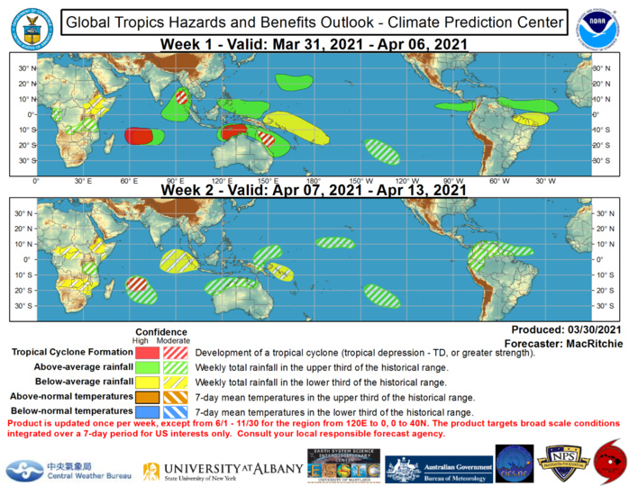
WEEK 2: 07/04 to 13/04. A moderate risk over the western Indian Ocean continues into Week-2. There is also an MJO and Kelvin wave related risk of TC development during Week-1 along the coast of Northern Australia. Dynamical models suggest a high risk of TC formation along the Kimberley Coast and a moderate risk of TC formation further east.

Above average rainfall is favored across much of the Maritime Continent during Week-1 due to the expected progression of the MJO. The MJO is expected to move eastward and weaken slightly during Week-2, which should reduce the overall above average rainfall footprint over the Pacific. Relatively small areas of above average rainfall are forecast throughout parts of the Central Pacific during Week-2 based on the expected evolution Kelvin and equatorial Rossby wave activity. The suppressed phase of the MJO is expected to reduce convection over the Maritime Continent during Week-2, so near- to slightly below-normal rainfall is expected.
Rédigé par PATRICK HOAREAU le Wednesday, March 31st 2021 à 06:25