WEEK 1: 3 NOVEMBER TO 09 NOVEMBER

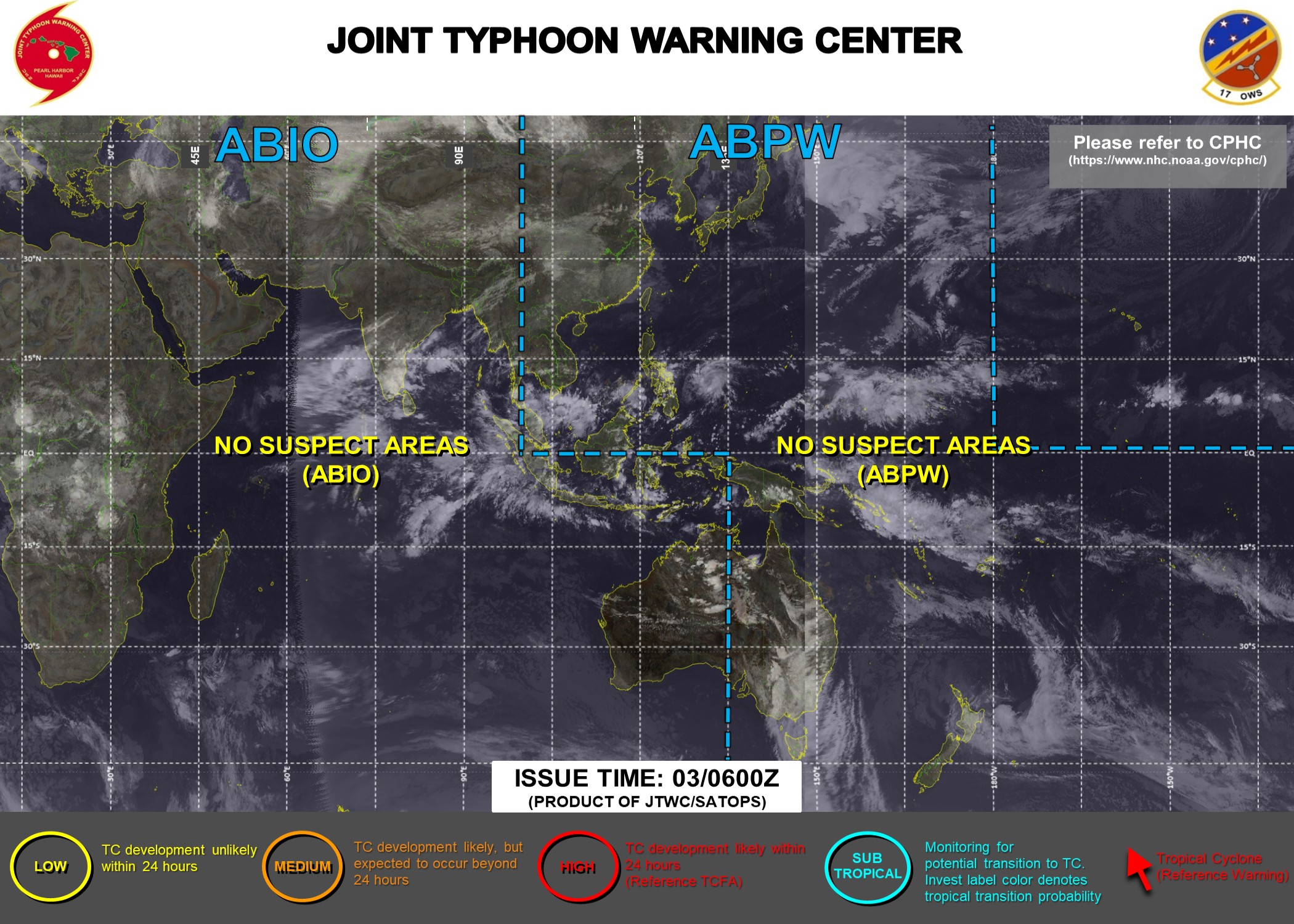
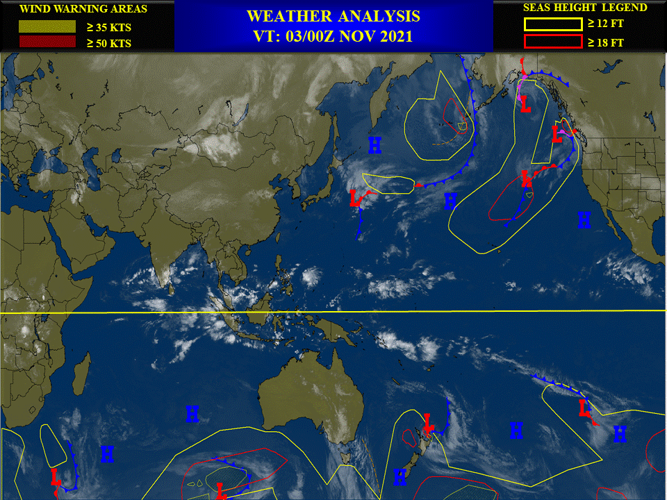
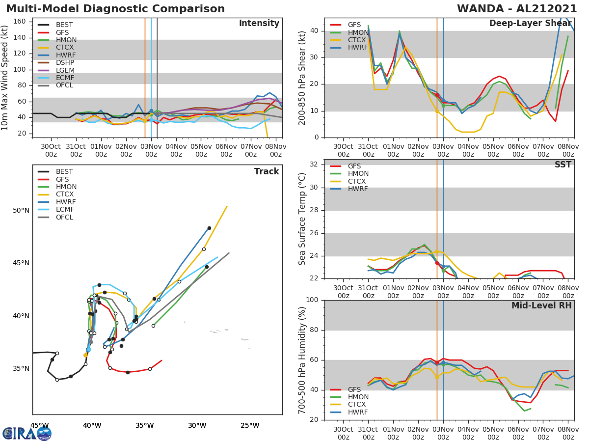
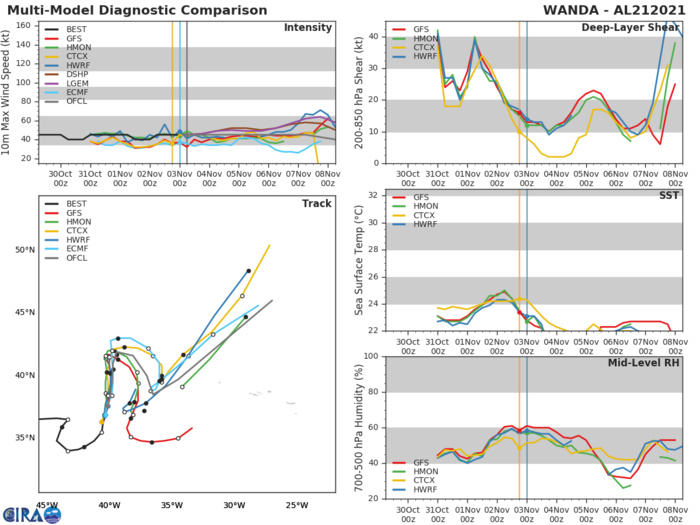
Tropical Cyclone (TC) activity has generally been non-existent in all of the basins, mainly due in part to a suppressed MJO, in addition to enhanced wind shear at the higher latitudes. In the past week, a departing storm over the northeastern U.S. contributed to the development of Subtropical Storm Wanda over the North Atlantic on 10/31. Wanda is now purely tropical, but is forecast to continue to track farther north and weaken over the next few days. Of note, Wanda is the final name on the 2021 list of names for the Atlantic Basin. All subsequent TCs will utilize a supplemental list of names as opposed to the Greek Alphabet that was used in the 2005 and 2020 seasons. More information can be found here: https://public.wmo.int/en/media/news/supplemental-list-of-tropical-cyclone-names-raiv. As the aforementioned Kelvin Wave propagates across the Indian Ocean, TC development is possible in the eastern Arabian Sea as indicated by several GEFS and ECMWF ensemble members. Over the Eastern Pacific, a reduction in upper level westerlies along the equator may promote TC development as multiple areas of surface low pressure have formed over the basin and across Central America. The Atlantic is forecast to remain quiet, although an extratropical cyclone is forecast to develop over the western Atlantic in the next few days and it is not out of the question that this system could acquire some subtropical characteristics as it moves over the Gulf Stream. As of right now, the probability of TC development is too low to include on the graphic.NOAA.
Issued at 02/1830UTC by NOAA.
In collaboration with the JTWC and several well known organizations.
Archives: HERE
Cheers,
Patrick Hoareau
JTWC PH
ILES SOEURS
Joint Typhoon Warning Center
JTWC BIS
In collaboration with the JTWC and several well known organizations.
Archives: HERE
Cheers,
Patrick Hoareau
JTWC PH
ILES SOEURS
Joint Typhoon Warning Center
JTWC BIS
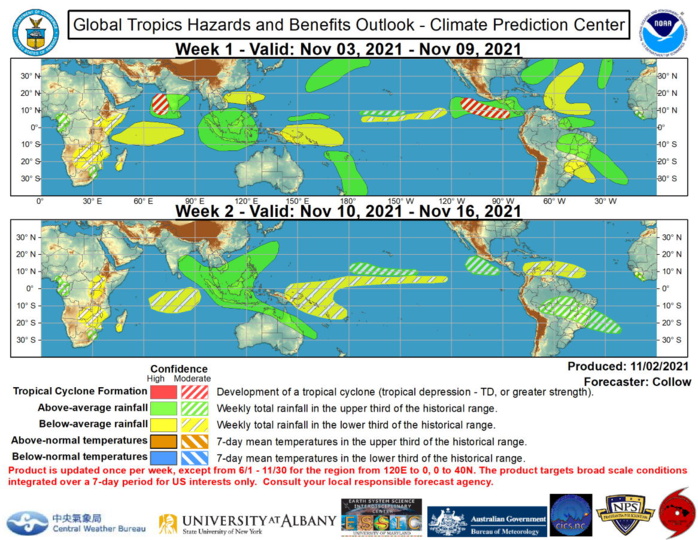
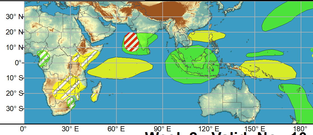
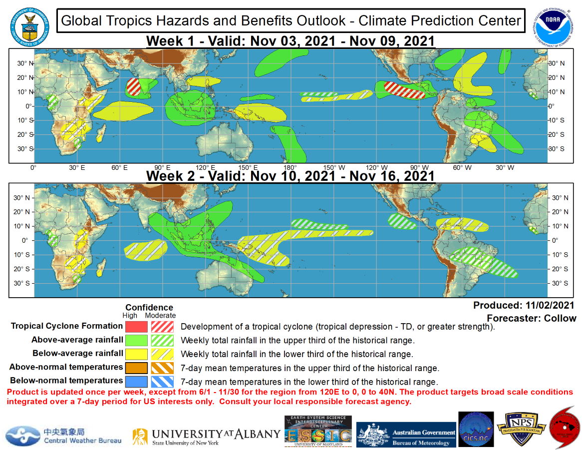
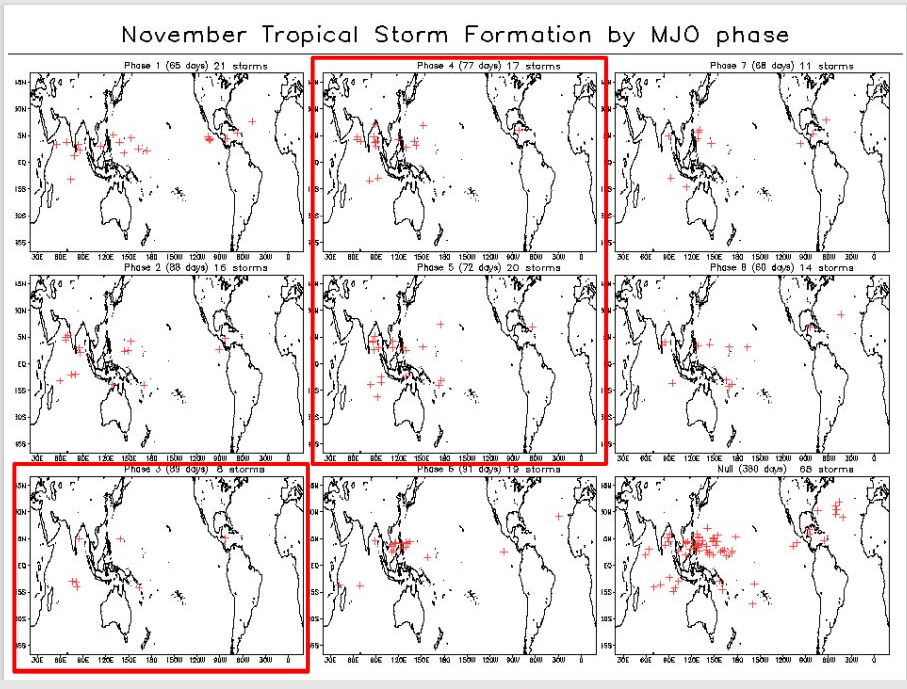
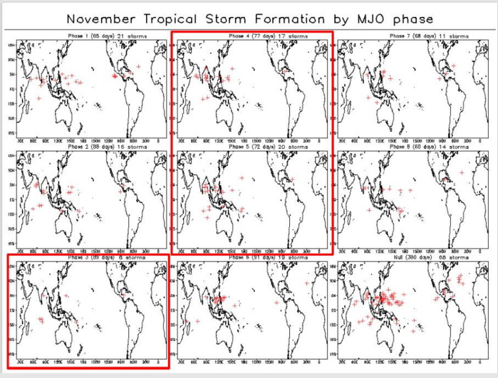
Global Tropics Hazards and Benefits Outlook Discussion Last Updated: 11.02.21 Valid: 11.03.21 - 11.16.21 The RMM-based MJO index has rapidly weakened over the last 2 weeks, and is currently within the RMM unit circle. Areas of enhanced and suppressed convection have been influenced by Kelvin and Rossby Wave activity, with a stationary convective envelope situated across the Maritime Continent, consistent with the low frequency La Nina base state. During the month of October, a robust Kelvin Wave emerged out of this convective envelope and propagated across the globe, and is now located over the equatorial eastern Atlantic and Africa. Over the next 2 weeks, this Kelvin Wave is forecast to move over the Indian Ocean and back to the Maritime Continent where it may reinvigorate the MJO-index. The GEFS and ECMWF models indicate some renewed eastward propagation of the RMM-based MJO index, but it is rather uncertain if the strongest signal is due to the Kelvin Wave itself, rather than a true MJO event. Given the well established low frequency state, it is unlikely that the intraseasonal signal will be able to progress much farther than the Western Pacific before weakening again. The dynamical models are the most bullish with the MJO signal emerging over the Western Pacific in the next 2 weeks, with the constructed analog tool being weaker, and not indicating much propagation beyond the Maritime Continent. Tropical Cyclone (TC) activity has generally been non-existent in all of the basins, mainly due in part to a suppressed MJO, in addition to enhanced wind shear at the higher latitudes. In the past week, a departing storm over the northeastern U.S. contributed to the development of Subtropical Storm Wanda over the North Atlantic on 10/31. Wanda is now purely tropical, but is forecast to continue to track farther north and weaken over the next few days. Of note, Wanda is the final name on the 2021 list of names for the Atlantic Basin. All subsequent TCs will utilize a supplemental list of names as opposed to the Greek Alphabet that was used in the 2005 and 2020 seasons. More information can be found here: https://public.wmo.int/en/media/news/supplemental-list-of-tropical-cyclone-names-raiv. As the aforementioned Kelvin Wave propagates across the Indian Ocean, TC development is possible in the eastern Arabian Sea as indicated by several GEFS and ECMWF ensemble members. Over the Eastern Pacific, a reduction in upper level westerlies along the equator may promote TC development as multiple areas of surface low pressure have formed over the basin and across Central America. The Atlantic is forecast to remain quiet, although an extratropical cyclone is forecast to develop over the western Atlantic in the next few days and it is not out of the question that this system could acquire some subtropical characteristics as it moves over the Gulf Stream. As of right now, the probability of TC development is too low to include on the graphic. The precipitation outlook during the next two weeks is based on a consensus of GEFS, CFS, and ECMWF guidance. The high confidence for above normal rainfall across parts of the Maritime Continent and Western Pacific is consistent with La Nina. Dry conditions are favored across the Equatorial Indian Ocean as well as in the central Atlantic. Above normal rainfall is anticipated across Central America during week-1, with further enhancement likely across the East Pacific persisting into week-2. Anomalous troughing in the South Atlantic favors an enhanced moisture feed into eastern South America prompting increased confidence for heavy rain across Brazil and surrounding areas. For hazardous weather concerns during the next two weeks across the U.S., please refer to your local NWS Forecast Office, the Weather Prediction Center's Medium Range Hazards Forecast, and CPC's Week-2 Hazards Outlook. Forecasts over Africa are made in consultation with the International Desk at CPC and can represent local-scale conditions in addition to global scale variability.NOAA.
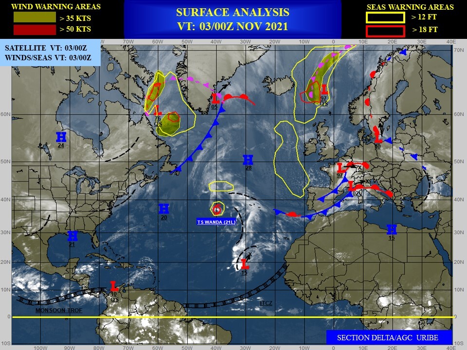
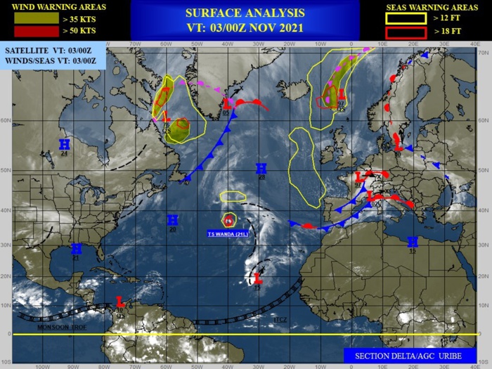
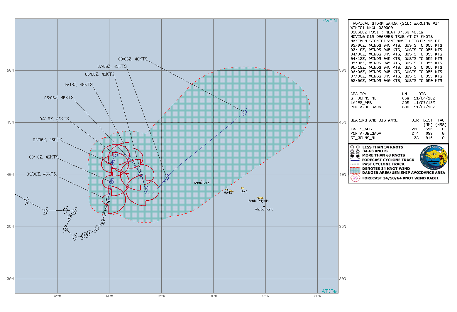
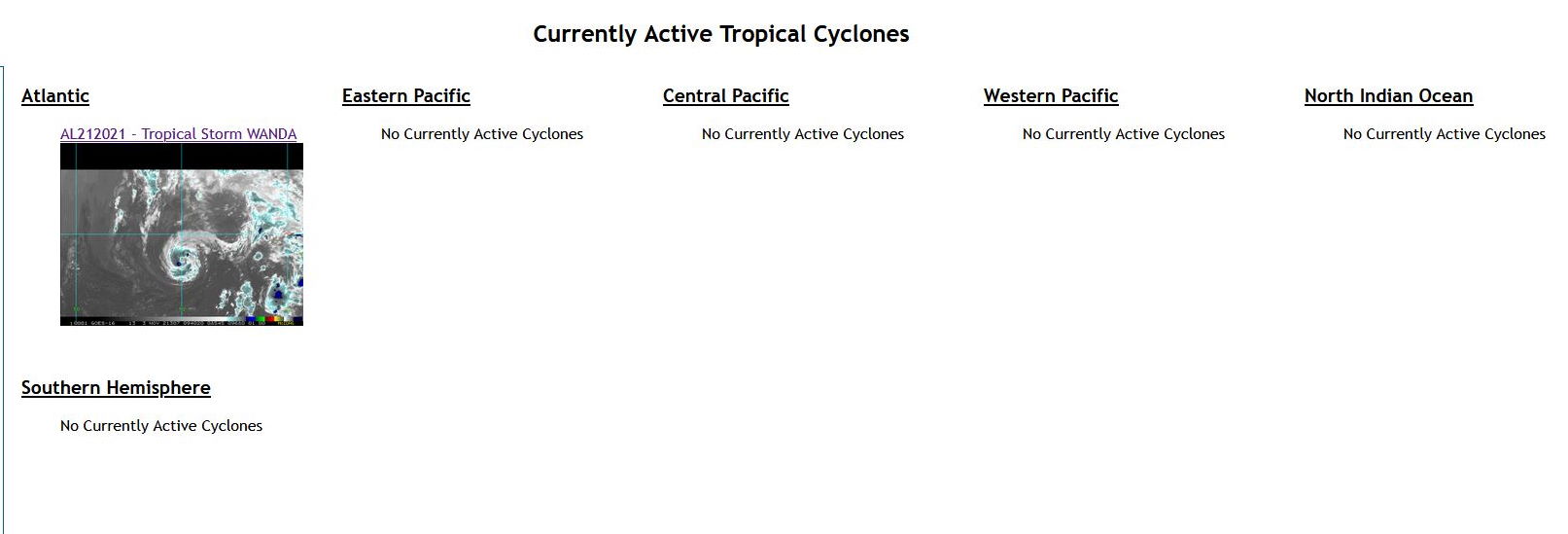
ATLANTIC: TS 21L(WANDA). WARNING 14 ISSUED AT 03/09UTC
2121102500 313N 828W 15
2121102506 315N 815W 20
2121102512 320N 795W 25
2121102518 320N 760W 35
2121102600 342N 738W 45
2121102606 361N 711W 50
2121102612 375N 690W 50
2121102618 395N 681W 55
2121102700 408N 676W 55
2121102706 415N 693W 55
2121102712 400N 701W 55
2121102718 386N 686W 55
2121102800 390N 658W 50
2121102806 393N 638W 45
2121102812 397N 618W 45
2121102818 401N 598W 45
2121102900 406N 581W 45
2121102906 407N 568W 45
2121102912 406N 555W 45
2121102918 404N 541W 45
2121103000 401N 524W 45
2121103006 394N 511W 40
2121103012 385N 497W 40
2121103018 375N 479W 40
2121103100 365N 461W 45
2121103106 366N 442W 45
2121103112 365N 433W 45
2121103118 365N 433W 45
2121110100 359N 438W 45
2121110106 348N 442W 45
2121110112 340N 433W 40
2121110118 341N 425W 40
2121110200 343N 420W 40
2121110206 348N 412W 45
2121110212 355N 406W 45
2121110218 362N 405W 45
2121110300 369N 403W 45
2121110306 376N 401W 45
