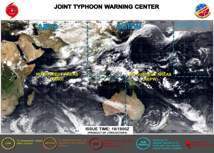
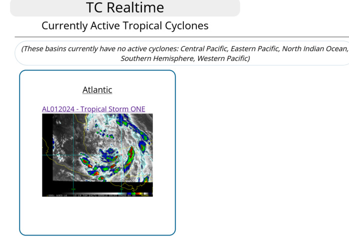
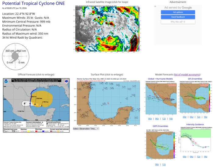
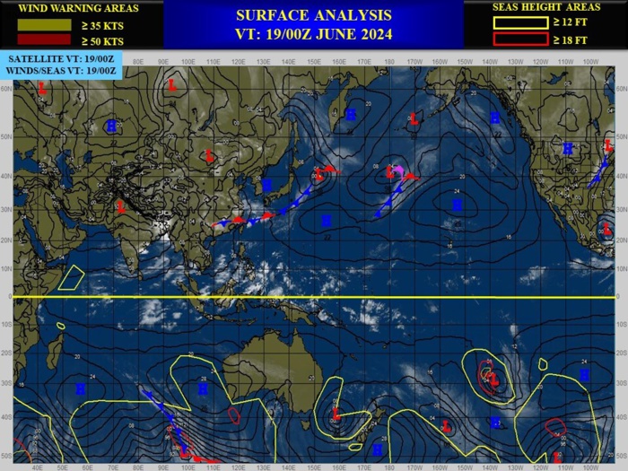
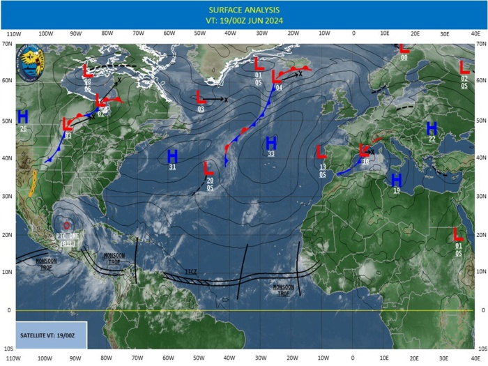
CLICK ON THE IMAGERIES BELOW TO GET THEM ENLARGED
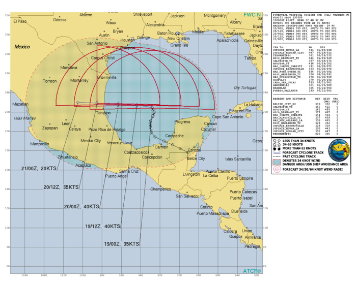
NORTH ATLANTIC/GULF OF MEXICO: TS 01L. ESTIMATED LOCATION AND INTENSITY AT 19/00UTC. INTENSITY IS 35 KNOTS: STABLE OVER 24 HOURS
0124061612 178N 891W 25
0124061618 182N 899W 25
0124061700 186N 907W 30
0124061706 190N 916W 30
0124061712 194N 925W 30
0124061718 199N 929W 35
0124061800 205N 930W 35
0124061806 210N 930W 35
0124061812 216N 927W 35
0124061818 220N 926W 35
0124061900 224N 928W 35
0124061618 182N 899W 25
0124061700 186N 907W 30
0124061706 190N 916W 30
0124061712 194N 925W 30
0124061718 199N 929W 35
0124061800 205N 930W 35
0124061806 210N 930W 35
0124061812 216N 927W 35
0124061818 220N 926W 35
0124061900 224N 928W 35
WARNING 6 ISSUED AT 19/03UTC
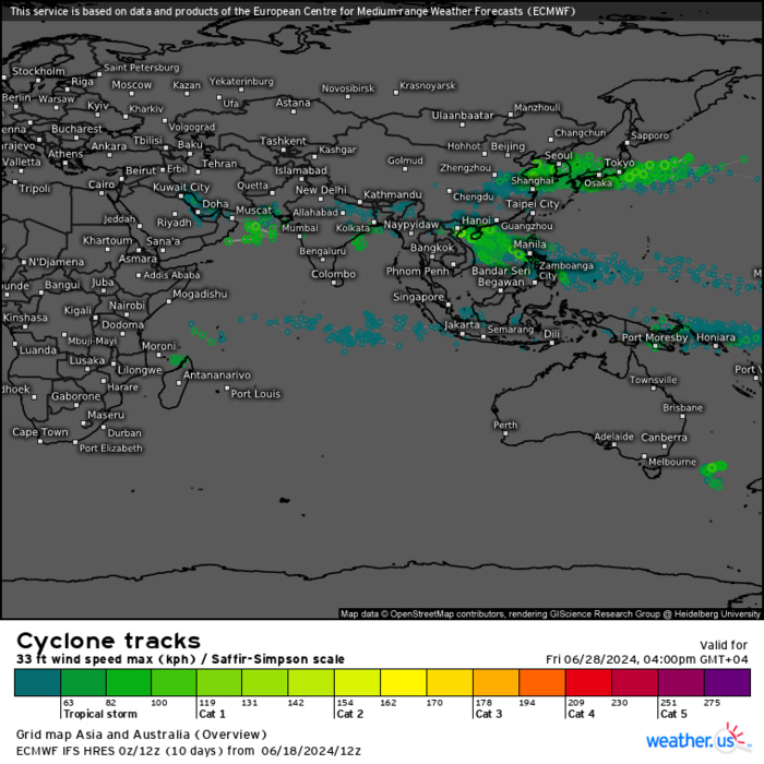
ECMWF Storm Tracks (Ensemble) : 06/18 12UTC+ 10 DAYS
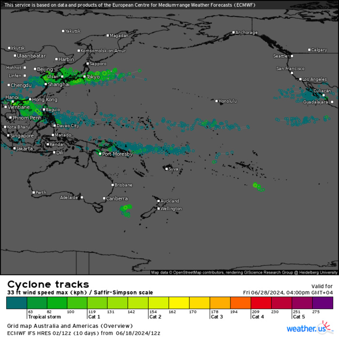
ECMWF Storm Tracks (Ensemble) : 06/18 12UTC+ 10 DAYS
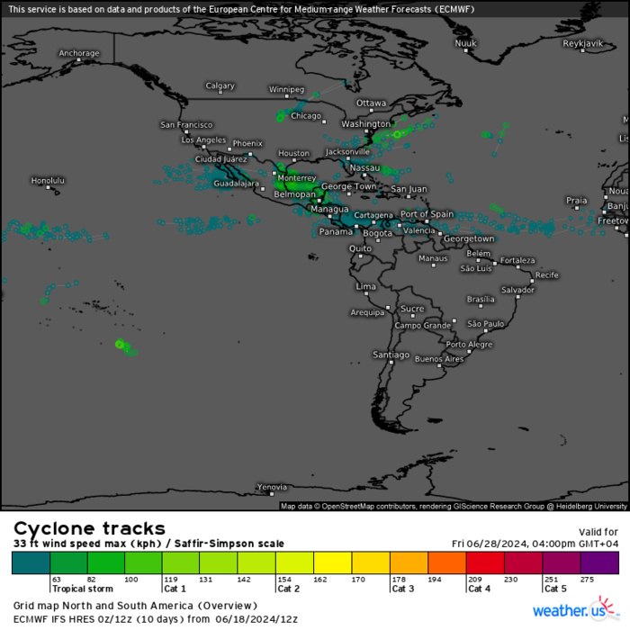
ECMWF Storm Tracks (Ensemble) : 06/18 12UTC+ 10 DAYS
Last Updated - 06/18/24 3 WEEK TROPICAL CYCLONE FORMATION PROBABILITY
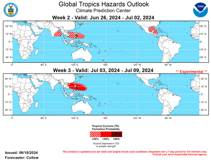
GTH Outlook Discussion Last Updated - 06/18/24 Valid - 06/26/24 - 07/09/24 The Madden Julian Oscillation (MJO) has been inactive during the first half of June, with the RMM-based index residing in the unit circle. The ECMWF and GEFS ensembles depict some reorganization of the MJO across the Western Hemisphere and propagating to the Indian Ocean by the end of week-2, although the phase speed may be more indicative of a Convectively Coupled Kelvin Wave (CCKW). This feature is forecast to result in anomalous divergence aloft across the Atlantic in the near-term, and shifting into the Eastern Hemisphere by week-2, with anomalous convergence aloft beginning to move across the Americas and the Atlantic in its wake. Constructive interference with a low frequency convective signal across the far western Pacific is possible during early July, resulting in an increasingly favorable environment for tropical cyclone (TC) development. No new TCs have formed during the past week, although an uptick in global TC activity is likely over the next few weeks. According to the National Hurricane Center (NHC), Potential Tropical Cyclone One, currently over the southwestern Gulf of Mexico, has an 80 percent chance of developing into a TC in the next 2 days with heavy rainfall impacts likely over parts of eastern Mexico and the western U.S. Gulf Coast. The continued active Central American Gyre (CAG) favors additional development around the same location this weekend, with NHC designating a 20 percent chance of TC formation in the next 7-days. Beyond that and into the week-2 period, several 6z and 12z GEFS ensemble members develop a third disturbance, with potentially a more northerly track. However, the ECMWF ensemble is not as robust with this third wave, and the convective environment aloft is forecast to become less favorable as more suppressed convection moves over the Americas and the CAG weakens. Therefore, only a 20-40 percent chance of TC development is highlighted across portions of the western Caribbean and Gulf of Mexico for week-2. Given the enhanced convective envelope beginning to move over the Eastern Hemisphere, the GEFS and ECMWF indicate an uptick in TC development probabilities across the Bay of Bengal. The arrival of the Indian Monsoon may limit TC development across this area, but a 20-40 percent chance of TC formation is highlighted in the forecast for week-2 given the higher probabilities depicted in the dynamical models. TC development chances are forecast to shift more toward the Western Pacific and South China Sea later in week-2 and especially into week-3 due to the convergence of several modes of tropical variability, with a 20-40 percent chance of TC development highlighted in week-2, increasing to 40-60 percent in week-3. This is also consistent with the increasing seasonal climatology.
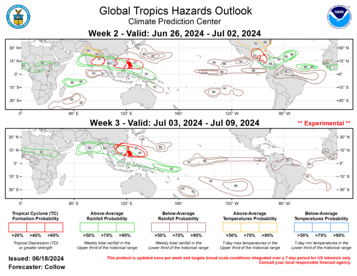
The precipitation outlook for weeks 2 and 3 is based on potential TC activity, MJO composites, and the dynamical models. During week-2 ,above-normal rainfall is favored across portions of the north Atlantic and Central America, with decreasing chances by week-3. Enhanced chances for above-normal (below-normal) rainfall are forecast across much of the Arabian Sea, Bay of Bengal, and the Western Pacific (Eastern Pacific and northern South America) for both weeks 2 and 3. For week-2, above-normal temperatures are likely for northern India and the eastern two-thirds of the U.S.
