CLICK ON THE IMAGERIES BELOW TO GET THEM ENLARGED
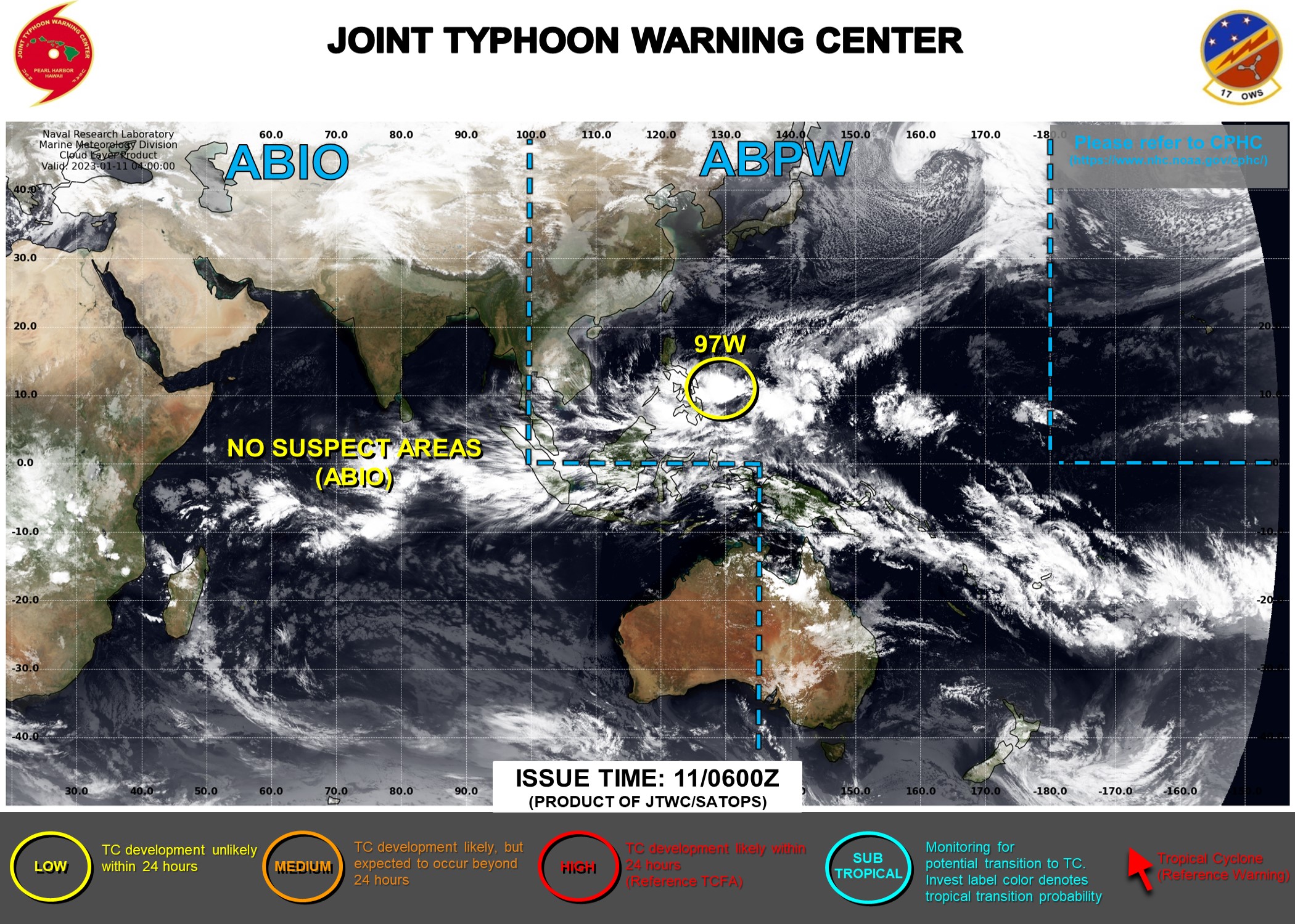
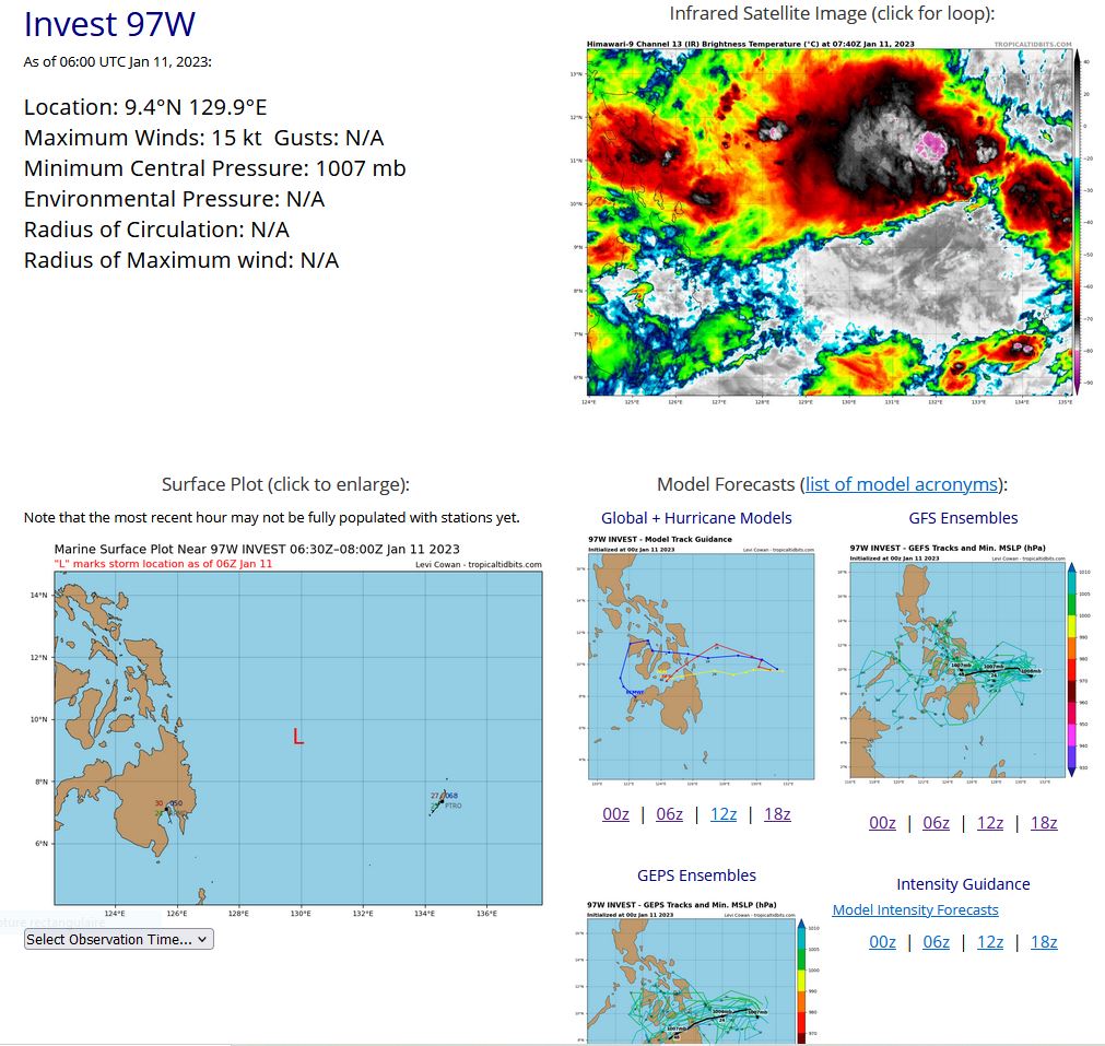
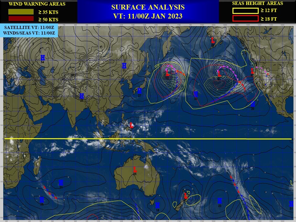
WESTERN NORTH PACIFIC OCEAN: INVEST 97W. ESTIMATED LOCATION AND INTENSITY AT 11/06UTC.ADVISORY(ABPW) ISSUED AT 11/06UTC.

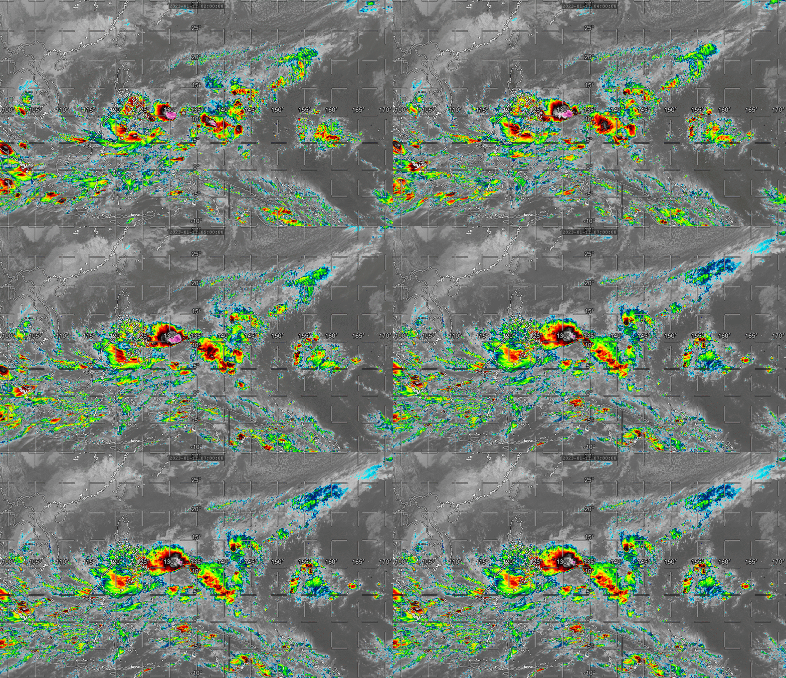
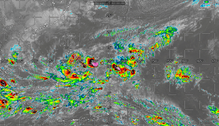
THE AREA OF CONVECTION (INVEST 97W) PREVIOUSLY LOCATED NEAR 6.4N 132.5E IS NOW LOCATED NEAR 9.2N 131.0E, APPROXIMATELY 488 NM EAST- SOUTHEAST OF LEGAZPI, PHILIPPINES. ENHANCED INFRARED SATELLITE IMAGERY DEPICTS A POORLY ORGANIZED, BROAD MONSOON DEPRESSION LIKE SYSTEM WITH 15- 20 KNOT WINDS AND FRAGMENTED CONVECTIVE BANDING AROUND THE PERIPHERY OF THE LOW-LEVEL CIRCULATION AND A CORE OF WEAK WINDS. LINEAR BANDING ASSOCIATED WITH CONVERGENT LOW-LEVEL WESTERLIES ALONG THE SOUTHERN QUADRANT. ENVIRONMENTAL ANALYSIS REVEALS MARGINALLY FAVORABLE CONDITIONS FOR DEVELOPMENT WITH ROBUST OUTFLOW ALOFT, MODERATE TO UNFAVORABLE (20 -25 KTS) VWS, AND WARM 28-29C SST. GLOBAL MODELS GENERALLY AGREE ON THE SLOW DEVELOPMENT OF A MONSOON DEPRESSION THAT REMAINS QUASI-STATIONARY OVER THE NEXT 24-48 HOURS. MAXIMUM SUSTAINED SURFACE WINDS ARE ESTIMATED AT 15 TO 20 KNOTS. MINIMUM SEA LEVEL PRESSURE IS ESTIMATED TO BE NEAR 1007 MB. THE POTENTIAL FOR THE DEVELOPMENT OF A SIGNIFICANT TROPICAL CYCLONE WITHIN THE NEXT 24 HOURS REMAINS LOW.
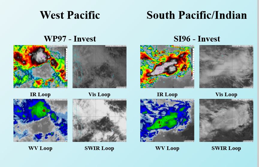
CLICK ON THE IMAGERY BELOW TO GET IT ANIMATED AND ENLARGED.
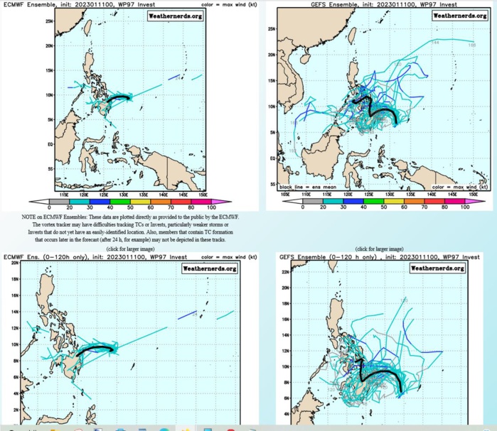
GLOBAL MODELS GENERALLY AGREE ON THE SLOW DEVELOPMENT OF A MONSOON DEPRESSION THAT REMAINS QUASI-STATIONARY OVER THE NEXT 24-48 HOURS.
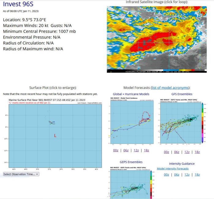
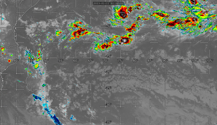
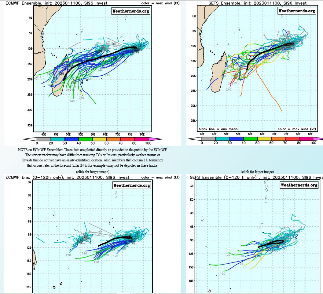
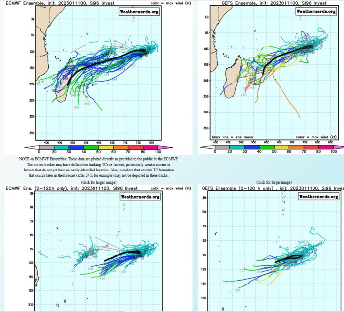
SOUTH INDIAN OCEAN: INVEST 96S. ESTIMATED LOCATION AND INTENSITY AT 11/06UTC.
CLICK ON THE IMAGERY BELOW TO GET IT ANIMATED AND ENLARGED.

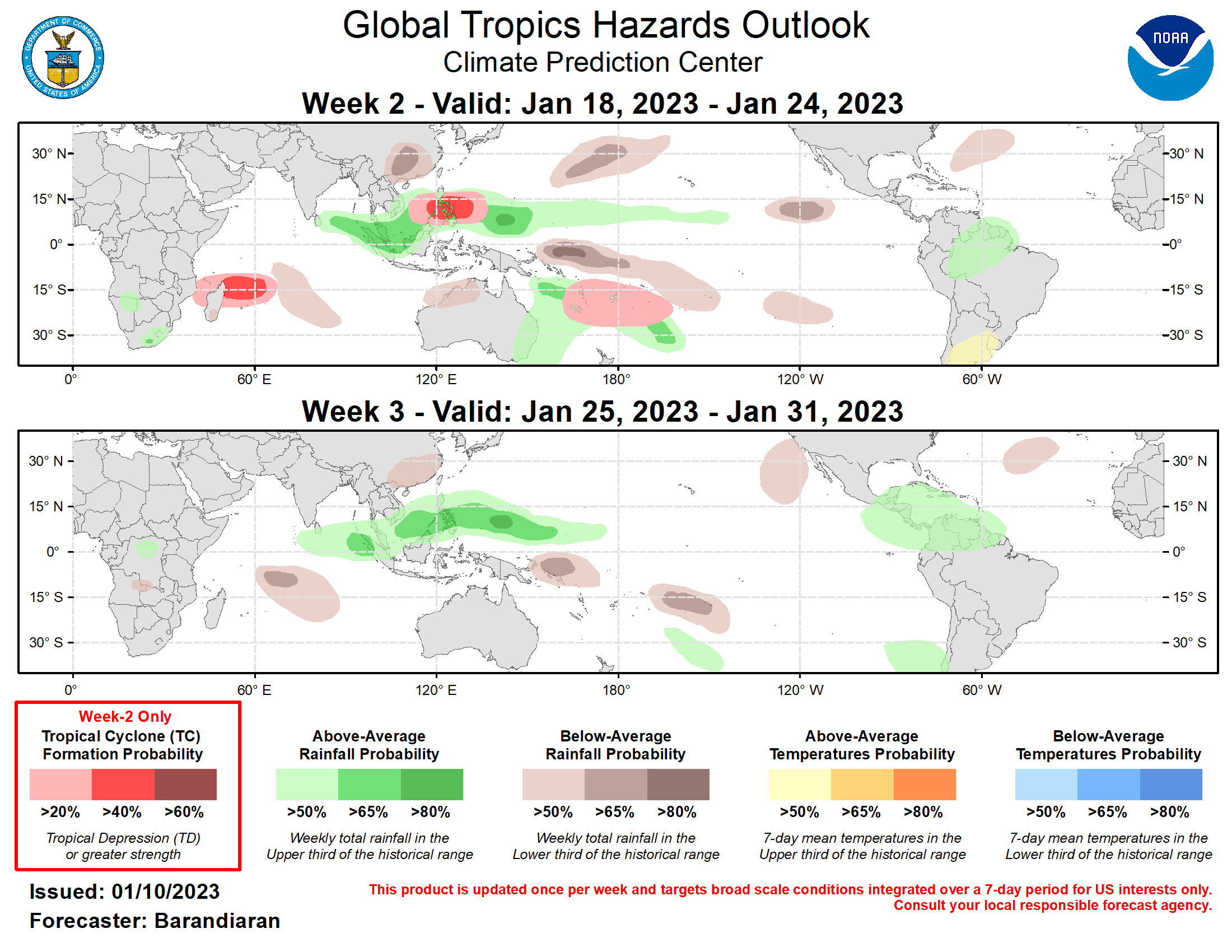
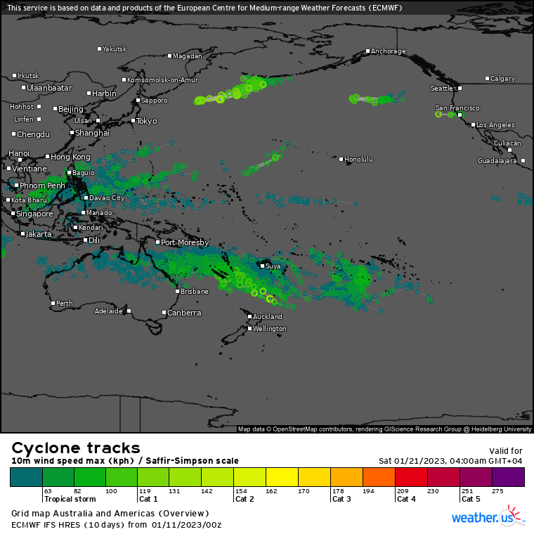
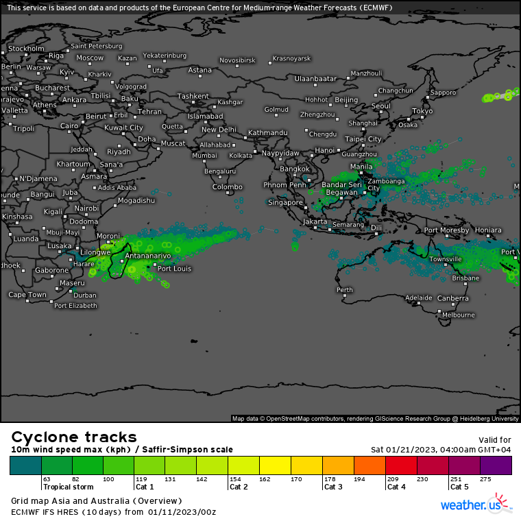
Last Updated - 01/10/23 Valid - 01/18/23 - 01/31/23 La Nina conditions have long been a fixture of the tropical Pacific, but there has been some weakening of various ENSO indicators recently. SST and near-surface ocean heat content anomalies in the ENSO region are all reducing in magnitude, and recent lower and upper level wind observations indicate a reduction in the strength of the enhanced Walker circulation that is one of the hallmarks of La Nina conditions and has been noted for many months. While it might be premature to declare La Nina over given that a robust MJO can disrupt circulation associated with the ENSO state, these changes are noteworthy and will be closely monitored. Meanwhile, the Madden-Julian Oscillation (MJO) has been active in recent weeks. Over the last 2-3 weeks the RMM-based index has shown steady propagation of the MJO signal from the Maritime Continent across the tropical Pacific. In recent days the signal has weakened and its eastward propagation has stalled somewhat, with the RMM index currently in phase 8 just inside the unit circle. Looking ahead, model solutions are in good agreement in the resumption of eastward propagation and increased signal strength, depicting a potentially strong MJO signal emerging over the Indian Ocean in week-2. In the last week, it has been fairly quiet with regard to tropical cyclones (TCs), though there has been some activity in the South Pacific. On Jan 6 the Australian Bureau of Meteorology reported the formation of Tropical Low 07U off the northeast coast of Australia. It moved northeast into the open waters of the South Pacific and had no impacts on land before quickly dissipating. In addition to the primary enhanced convective envelope currently over the Western Hemisphere there is enhanced low-level convergence and convection situated over the Maritime Continent, which is favored to continue during the week-2 timeframe. The ECMWF depicts elevated TC activity near the Philippines as well as over the Coral Sea during the week 2-3 timeframe, therefore a slight chance (20% probability) for TC formation is posted over the Coral Sea, and a moderate chance (40%) for TC development covering both the South China and Philippine Seas. MJO activity forecast to emerge over the Indian Ocean and guidance from GEFS and ECMWF support a moderate chance for TC formation east of Madagascar. The precipitation outlook for the next two weeks is based on anticipated TC tracks, ongoing La Nina conditions, and consensus of GEFS, CFS, and ECMWF ensemble mean solutions. Suppressed (enhanced) rainfall continues along the Equator near and to the west of the Date Line (over the northern Maritime Continent) due to ongoing La Nina conditions for week-2, though the area of suppressed convection weakens during week-3. Enhanced precipitation over the Maritime Continent continues during week-3 as the MJO propagates eastward over the Indian Ocean and into the Maritime Continent. A slight tilt towards above-normal precipitation is favored for portions of northern South America for weeks 2 and 3, expanding into southern Central America during the week-3 period. Below-normal precipitation is favored for southeastern China for weeks 2 and 3.
