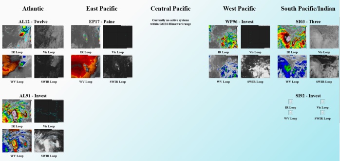
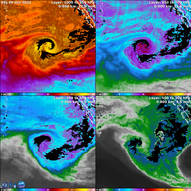
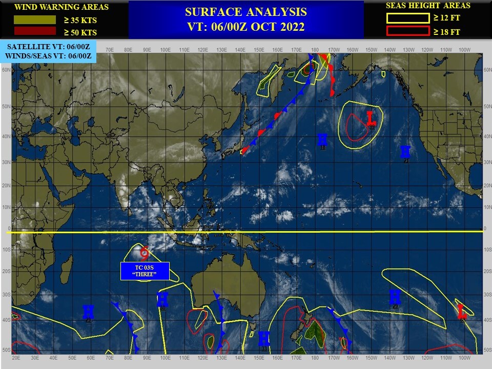
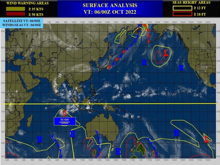
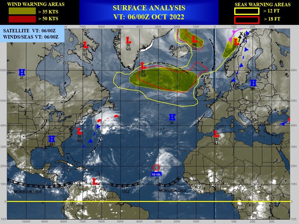
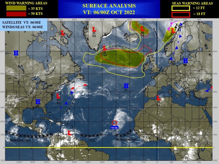
CLICK ON THE IMAGERIES BELOW TO GET THEM ENLARGED
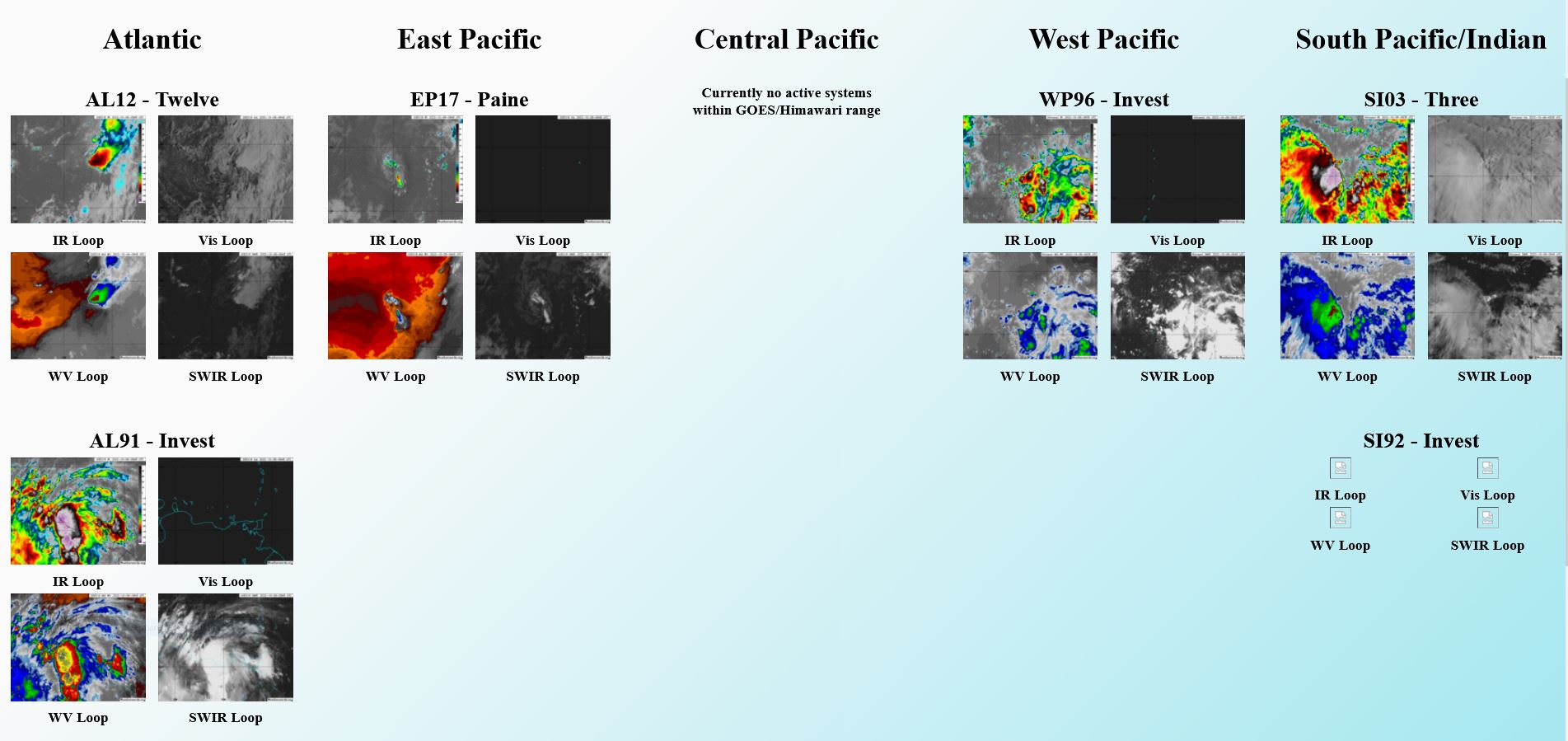
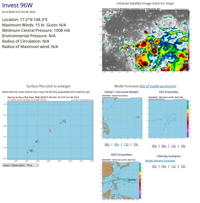
WESTERN NORTH PACIFIC: INVEST 96W. ESTIMATED LOCATION AND INTENSITY AT 06/06UTC.
WP, 96, 2022100512,163N, 1493E, 15, 1010, DB
WP, 96, 2022100518,166N, 1490E, 15, 1010, DB
WP, 96, 2022100600,169N, 1488E, 15, 1008, DB
WP, 96, 2022100606,172N, 1483E, 15, 1008, DB
WP, 96, 2022100518,166N, 1490E, 15, 1010, DB
WP, 96, 2022100600,169N, 1488E, 15, 1008, DB
WP, 96, 2022100606,172N, 1483E, 15, 1008, DB
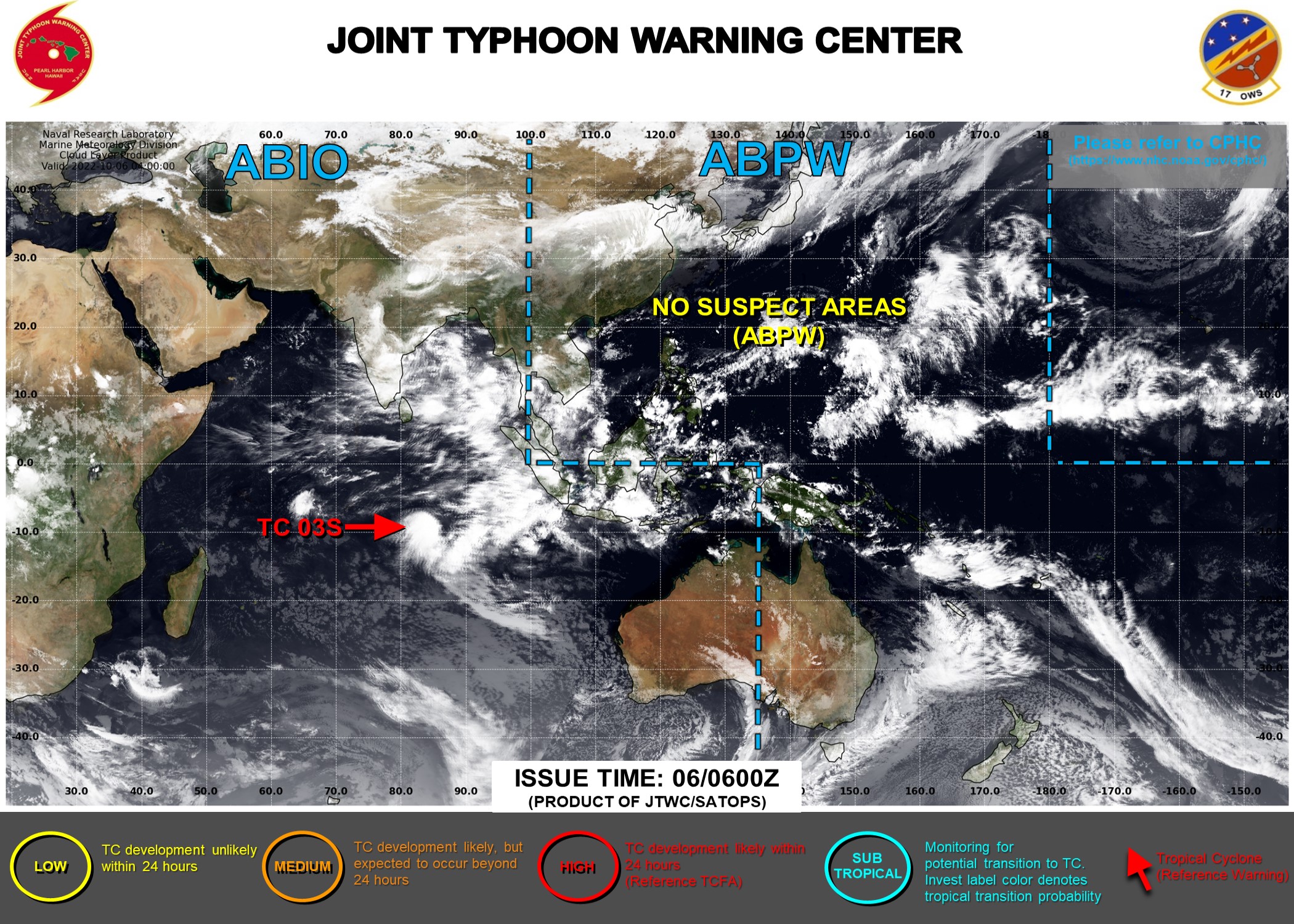
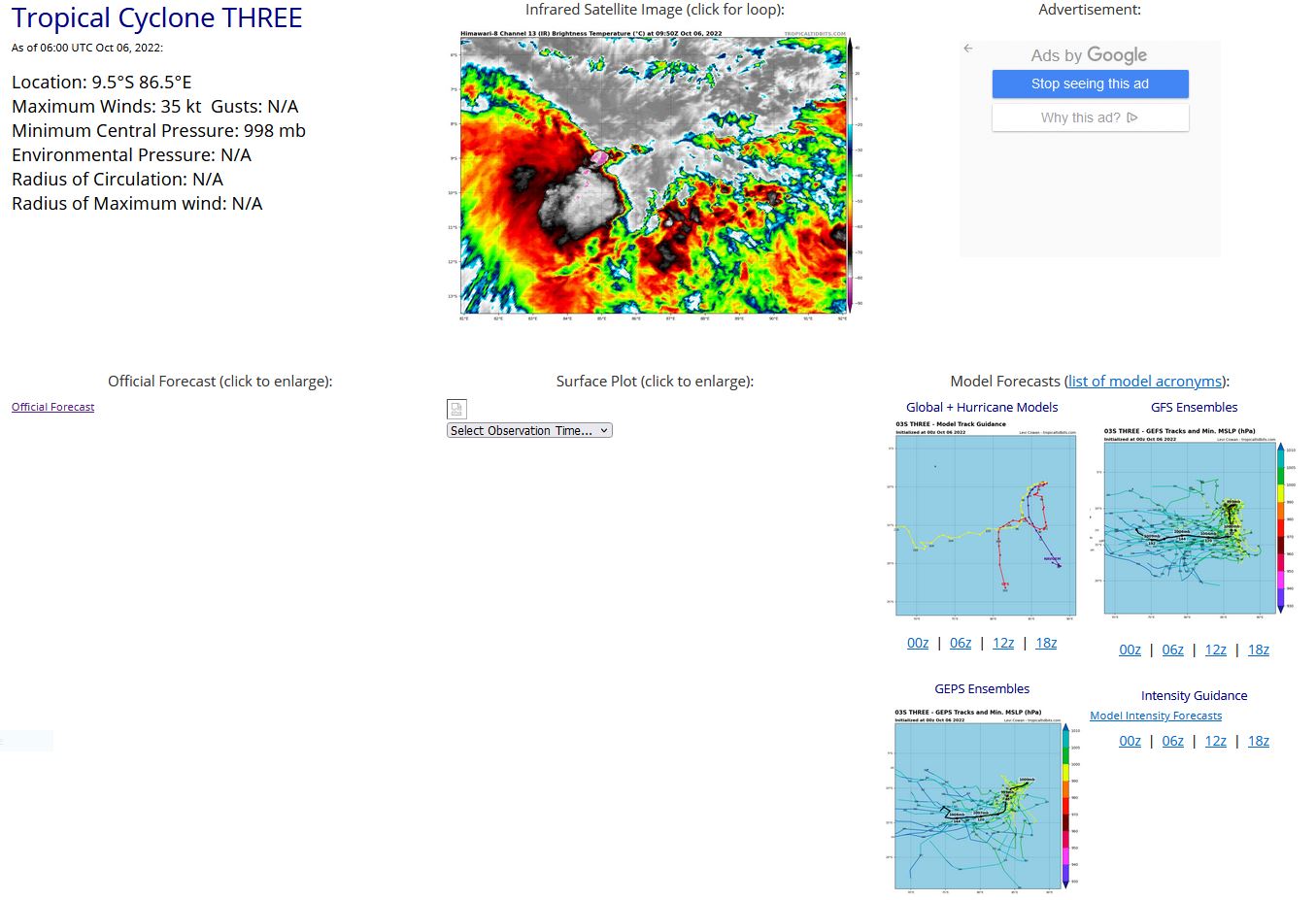
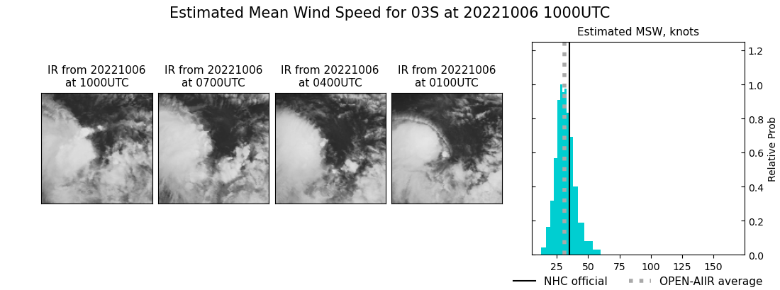
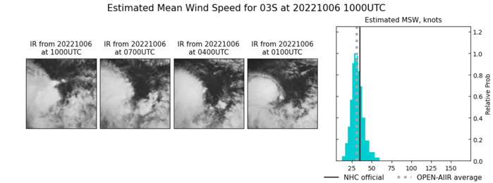
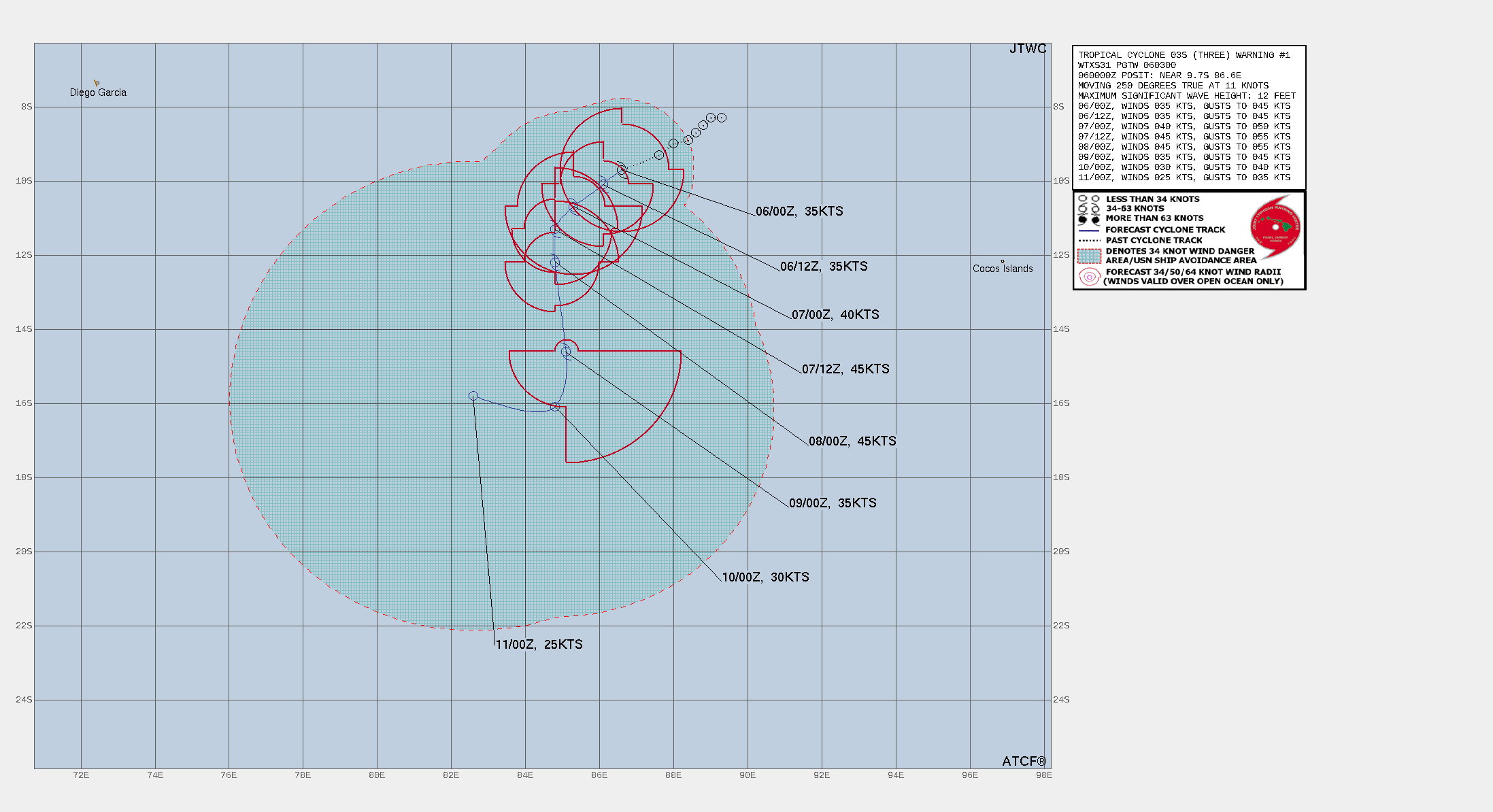
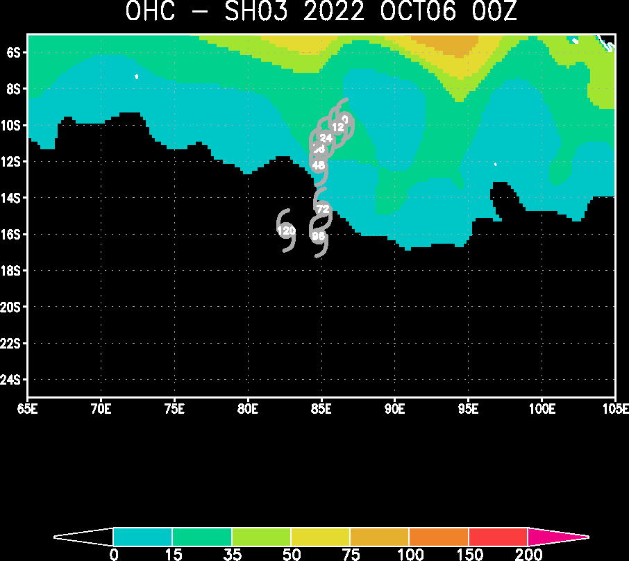
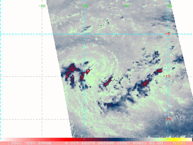
SOUTH INDIAN OCEAN: TC 03S. ESTIMATED LOCATION AND INTENSITY AT 06/06UTC. WARNING 1 ISSUED AT 06/03UTC.
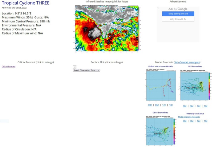
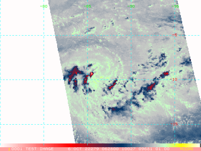
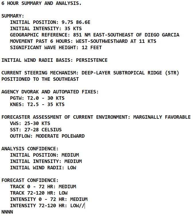
SATELLITE ANALYSIS, INITIAL POSITION AND INTENSITY DISCUSSION: ANIMATED ENHANCED INFRARED (EIR) SATELLITE IMAGERY DEPICTS A LARGE CLUSTER OF PERSISTENT DEEP CONVECTION OVER THE WESTERN SEMICIRCLE OF A BROAD LOW-LEVEL CIRCULATION (LLC). EIR INDICATES INTENSE FLARING CONVECTIVE TOPS OF -85C. A 052300Z SSMIS 89GHZ MICROWAVE IMAGE DEPICTS FORMATIVE CONVECTIVE BANDING TO THE SOUTH AND WEST OF THE LOW LEVEL CIRCULATION CENTER (LLCC). THE INITIAL POSITION IS PLACED WITH MEDIUM CONFIDENCE BASED ON THE EIR ALONG WITH THE SSMIS MICROWAVE IMAGERY. A 051919Z AMSR2 WINDSPEED IMAGE SHOWS A SWATH OF 35-40 KNOT WINDS OVER THE WESTERN SEMICIRCLE WITH WEAKER WINDS OVER THE CENTER AND EASTERN SEMICIRCLE. THE INITIAL INTENSITY OF 35 KTS IS ASSESSED WITH MEDIUM CONFIDENCE BASED ON THE AMSR2 WINDSPEED IMAGE, ALONG WITH THE IMPROVING CONVECTIVE STRUCTURE AS WELL AS A COMBINATION OF AGENCY DVORAK INTENSITY ESTIMATES, WITH PGTW IN PARTICULAR UP TO T2.0. HOWEVER, ENVIRONMENTAL CONDITIONS ARE CURRENTLY MARGINALLY FAVORABLE WITH MODERATE POLEWARD OUTFLOW, WARM (27-28C) SEA SURFACE TEMPERATURES (SSTS), OFFSET BY HIGH (25-30 KTS) VERTICAL WIND SHEAR.
SH, 03, 2022100406,83S, 893E, 25, 1004, TD
SH, 03, 2022100412,83S, 890E, 25, 1005, TD
SH, 03, 2022100418,85S, 888E, 25, 1004, TD
SH, 03, 2022100500,87S, 886E, 25, 1004, TD
SH, 03, 2022100506,89S, 884E, 30, 1001, TD
SH, 03, 2022100512,90S, 880E, 30, 1001, TD
SH, 03, 2022100518,93S, 873E, 35, 1001, TS
SH, 03, 2022100600,95S, 867E, 35, 1001, TS
SH, 03, 2022100606,95S, 865E, 35, 998, TS
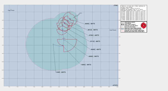
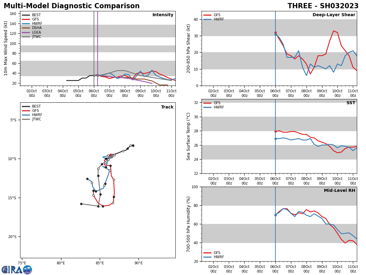
FORECAST REASONING. SIGNIFICANT FORECAST CHANGES: THIS INITIAL PROGNOSTIC REASONING MESSAGE ESTABLISHES THE FORECAST PHILOSOPHY. FORECAST DISCUSSION: TC 03S WILL TRACK SOUTHWESTWARD OVER THE NEXT 24 HOURS, ALONG THE WESTERN PERIPHERY OF THE DEEP-LAYER SUBTROPICAL RIDGE POSITIONED TO THE SOUTHEAST. THE STR IS EXPECTED TO REALIGN TO A MORE SOUTHWEST TO NORTHEAST ORIENTATION AS A DEEP MID-LATITUDE SHORTWAVE TROUGH IS FORECAST TO DIG IN NEAR THE SYSTEM AFTER TAU 48, WHICH COULD DRIVE TC 03S TO TRACK IN A MORE SOUTHWARD DIRECTION. AS THIS OCCURS THE SYSTEM WILL ALSO TAP INTO INCREASED POLEWARD OUTFLOW AND MOVE INTO A REGION OF LOWER VERTICAL WIND SHEAR (VWS). THESE IMPROVED ENVIRONMENTAL FACTORS COULD ALLOW FOR A BRIEF WINDOW OF INTENSIFICATION UP TO TAU 72. AFTER TAU 72, TC 03S WILL BEGIN TO RAPIDLY SLOW DOWN IN FORWARD TRACK MOTION AND THEN TURN SHARPLY WEST-NORTHWEST AS A TRANSITORY HIGH PRESSURE BUILDS POLEWARD OF THE SYSTEM. BY TAU 96, 03S WILL CONTINUE TO TRANSIT WEST-NORTHWEST ALONG THE NORTHERN EDGE OF THE STRONG HIGH, AS THIS OCCURS THE SYSTEM WILL BEGIN TO GRADUALLY WEAKEN DUE TO THE ENTRAINMENT OF COOLER, DRIER AIR.
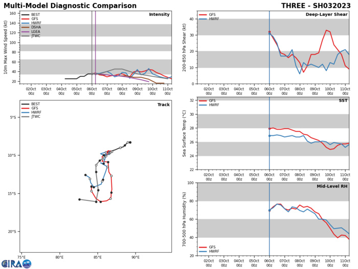
MODEL DISCUSSION: NUMERICAL MODEL GUIDANCE IS IN FAIR AGREEMENT WITH ONLY A 70NM CROSS-TRACK SPREAD THROUGH TAU 48, WITH A LARGE SPREAD UP TO 200-300NM FROM TAU 72 TO TAU 120. THE PRIMARY OUTLIERS ARE NAVGEM ON THE WESTERN EDGE OF THE AIDS ENVELOPE, AND EGRR ON THE EASTERN EDGE. THEREFORE, THE JTWC TRACK IS POSITIONED CLOSE TO THE MULTI-MODEL CONSENSUS. ADDITIONALLY, THE BULK OF THE ECMWF ENSEMBLE (EPS) AND GFS ENSEMBLE (GEFS) SOLUTIONS ARE IN GOOD AGREEMENT AND SUPPORT THE JTWC FORECAST TRACK WITH MEDIUM CONFIDENCE. THE RELIABLE INTENSITY GUIDANCE IS LIMITED AS HWRF INTENSITY GUIDANCE IS CURRENTLY NOT AVAILABLE, THE REST OF THE GUIDANCE IS IN FAIR AGREEMENT. THEREFORE, THE JTWC INTENSITY FORECAST FOLLOWS CLOSELY TO THE MULTI-MODEL INTENSITY CONSENSUS.
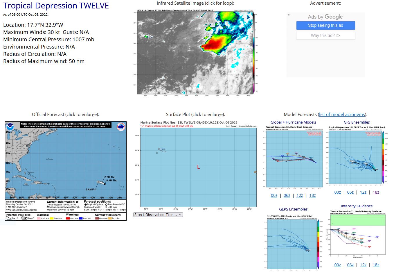
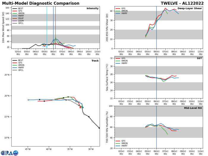
NORTH ATLANTIC: TD 12L. ESTIMATED LOCATION AND INTENSITY AT 06/06UTC. NHC COMMENTS.
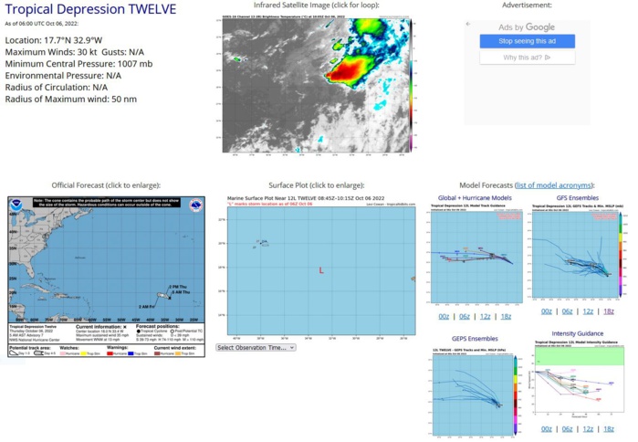
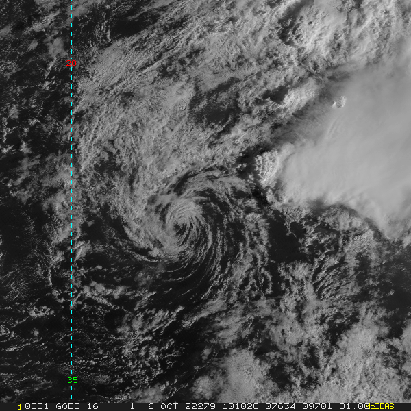
WTNT42 KNHC 060846 TCDAT2 Tropical Depression Twelve Discussion Number 7 NWS National Hurricane Center Miami FL AL122022 500 AM AST Thu Oct 06 2022 Once again, the low-level circulation of the depression has separated from the deep convection, which is located over 50 miles to the east-northeast of the center. Subjective satellite intensity estimates have held steady and the initial intensity remains at 30 kt. The already strong west-southwesterly vertical wind shear is forecast to increase further in the next day or so and will likely cause the cyclone to weaken quickly. Most of the global models suggest the system will open into a trough within a day or two. The official forecast now shows the depression becoming a post-tropical remnant low in 12 hours and dissipated by 36 hours. The depression is moving west-northwestward at about 11 kt. This general motion is expected to continue for the next day or so while the system follows the low-level flow around a ridge to the north. The NHC track forecast has shifted south from the previous forecast possibly due to the more westward initial position and is on the northern edge of the guidance envelope. FORECAST POSITIONS AND MAX WINDS INIT 06/0900Z 18.0N 33.4W 30 KT 35 MPH 12H 06/1800Z 18.8N 34.8W 30 KT 35 MPH...POST-TROP/REMNT LOW 24H 07/0600Z 19.3N 37.0W 25 KT 30 MPH...POST-TROP/REMNT LOW 36H 07/1800Z...DISSIPATED $$ Forecaster Bucci
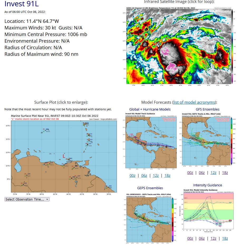
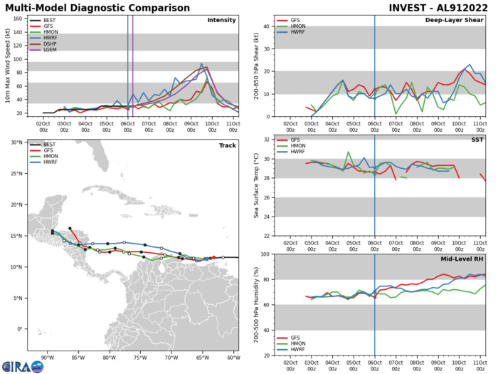
NORTH ATLANTIC: INVEST 91L. ESTIMATED LOCATION AND INTENSITY AT 06/06UTC. NHC COMMENTS.
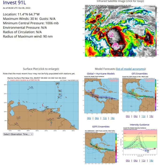
Tropical Weather Outlook NWS National Hurricane Center Miami FL 200 AM EDT Thu Oct 6 2022 For the North Atlantic...Caribbean Sea and the Gulf of Mexico: Active Systems: The National Hurricane Center is issuing advisories on Tropical Depression Twelve, located several hundred miles west-northwest of the Cabo Verde Islands. Southeastern Caribbean Sea: An area of low pressure located over the far southeastern Caribbean Sea is producing a large area of showers and thunderstorms over the southern Windward Islands, northern South America, and adjacent waters. Satellite-derived wind data indicate that this system does not yet have a well-defined center of circulation. While land interaction with the northern coast of South America may hinder significant development during the next day or so, environmental conditions are expected to be mostly conducive for development as the system moves generally westward, and a tropical depression is likely to form in the next couple of days by the time the system enters the south-central Caribbean Sea. 1. Regardless of development, heavy rainfall with localized flooding, as well as gusty winds to gale force, are expected over portions of the Windward Islands, northern portions of Venezuela including Isla Margarita, and the ABC Islands during the next day or two. Interests in those locations, in addition to those in Central America, should continue to monitor the progress of this system. * Formation chance through 48 hours...high...80 percent. * Formation chance through 5 days...high...90 percent. Key messages for the disturbance over the far southeastern Caribbean Sea can be found on the National Hurricane Center website at www.hurricanes.gov Forecaster Pasch
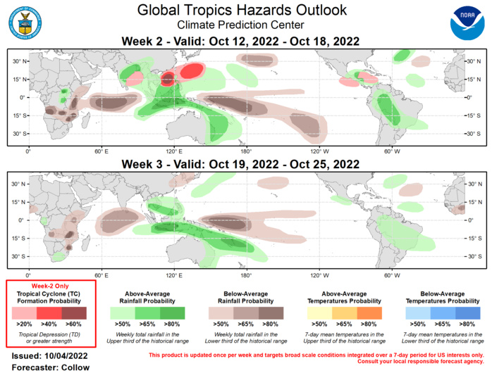
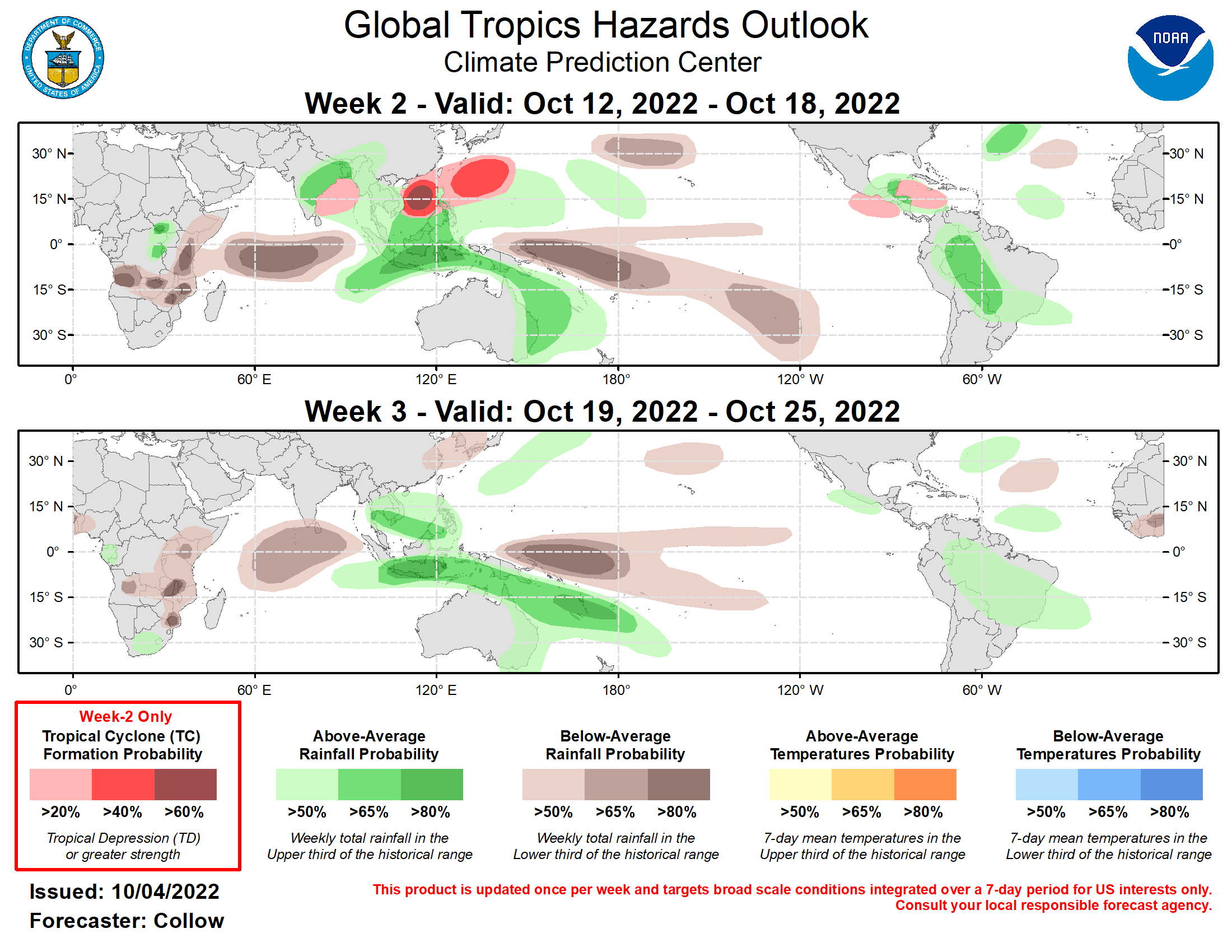
Outlook Discussion Last Updated - 10/04/22 Valid - 10/12/22 - 10/25/22 The Madden Julian Oscillation (MJO) has been inactive for much of September, with the RMM-based index remaining within the unit circle. However, dynamical model guidance, particularly the GEFS and ECMWF ensembles, depict an amplifying MJO signal emerging across the Maritime Continent and propagating eastward into the western Pacific over the next 2 weeks. While there is a coherent MJO signal in the JMA, its amplitude is weaker compared to the GEFS and ECMWF, and lies closer to the edge of the unit circle. As has been the case for much of the year, there is uncertainty as to whether or not the intraseasonal signal will be able to continue its eastward propagation across the Pacific due to interference with the ongoing La Niña, with the ensemble means from the GEFS and ECMWF showing a weakening MJO once it reaches phase 7. However, some individual ensemble members indicate continued eastward propagation into phase 8 by the end of October. The tropics have remained active during the past week across the Northern Hemisphere. Over the Atlantic Basin, Hurricane Ian made landfall across southwest Florida on 9/28 as a category-4 storm resulting in significant damage over the region. The storm made a second landfall over South Carolina as a category-1 hurricane on 9/30. A short-lived tropical depression (Eleven) developed over the open waters of the eastern Atlantic on 9/28. Across the East Pacific, Hurricane Orlene formed on 9/29, and peaked as a category-4 storm, before weakening and making landfall along the west coast of Mexico as a category-1 system. Tropical Storm Paine developed on 10/3 and is no threat to land. Typhoon Roke developed on 9/28 over the Western North Pacific Basin, and recurved northeastward, remaining well south of Japan. Over the next 2 weeks, tropical cyclone (TC) activity is forecast to increase across the Western North Pacific and Bay of Bengal, tied to the renewed MJO signal. A 60 percent chance for TC development is indicated across the South China Sea consistent with the GEFS and ECMWF ensembles, with a 40 percent chance of formation highlighted over the open West Pacific, east-northeast of the Philippines, due to climatology and recent TC formations in this region. TC formation is also possible over the Bay of Bengal (20 percent chance). Across the Atlantic, Invest 91L, located to the west of the Windward Islands, is being monitored by the National Hurricane Center for possible TC development. While this system may ultimately form prior to the start of week-2, the favorable conditions over the region, along with increasing climatological influence, support a 20 percent chance of TC development across the Caribbean during week-2. Increased TC development chances may also extend into the East Pacific Basin, where a 20 percent chance of TC formation is highlighted during week-2. There are some indications that the Caribbean system may cross Central America during this period, and develop over the East Pacific (if it does not develop earlier over the Caribbean), or an entirely separate system may develop over the basin. The precipitation outlook for the next two weeks is based on anticipated TC tracks, ongoing La Niña conditions, MJO composites, and consensus of GEFS, CFS, and ECMWF ensemble mean solutions. Enhanced rainfall is forecast across the Maritime Continent, West Pacific, and also extending across eastern Australia and the south-central Pacific during weeks 2 and 3, tied to the MJO becoming active over these regions. Below-normal precipitation is forecast over the Indian Ocean (suppressed convection on the backside of the MJO), along with the equatorial central Pacific (La Niña). Above normal rainfall is forecast across the Caribbean and South America during week-2, becoming more focused across South America by week-3.
