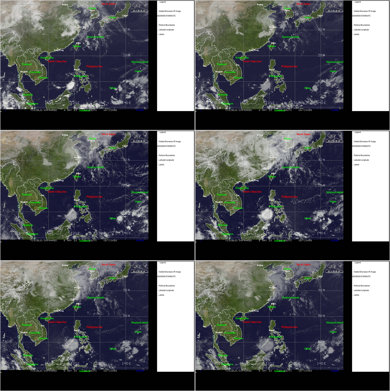
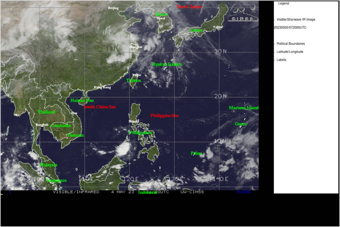
CLICK ON THE IMAGERIES BELOW TO GET THEM ENLARGED
CLICK ON THE IMAGERY BELOW TO GET IT ANIMATED AND ENLARGED.
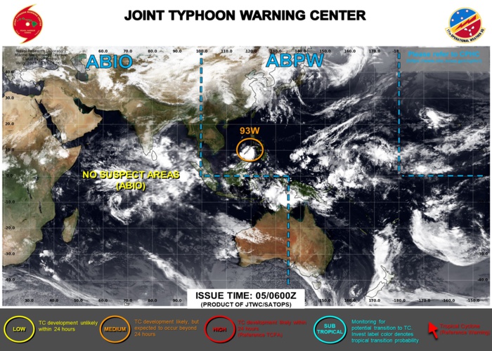
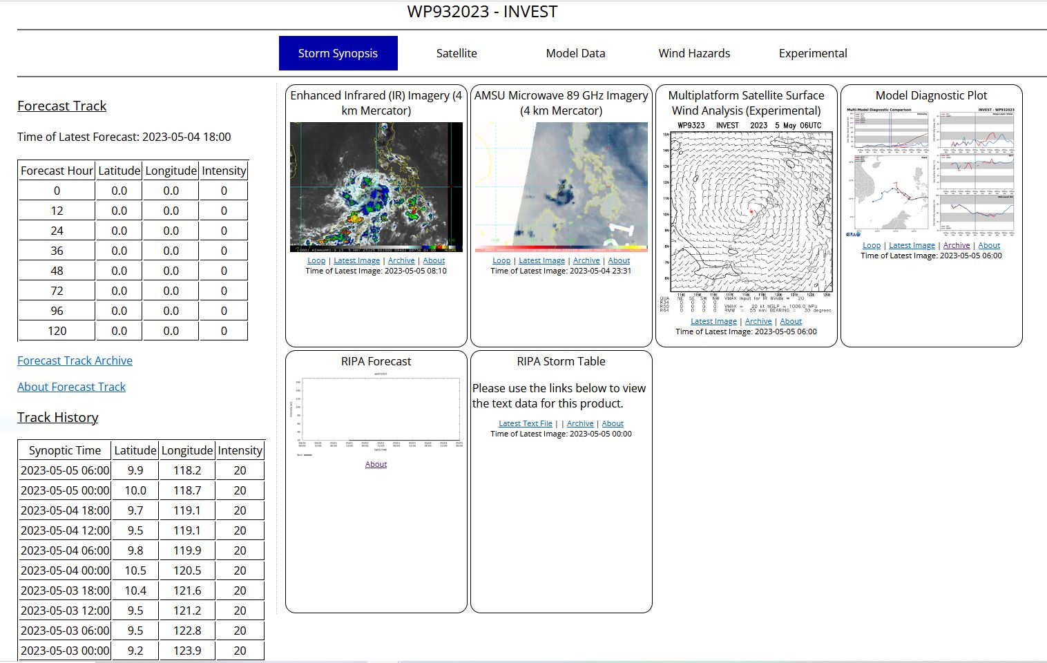
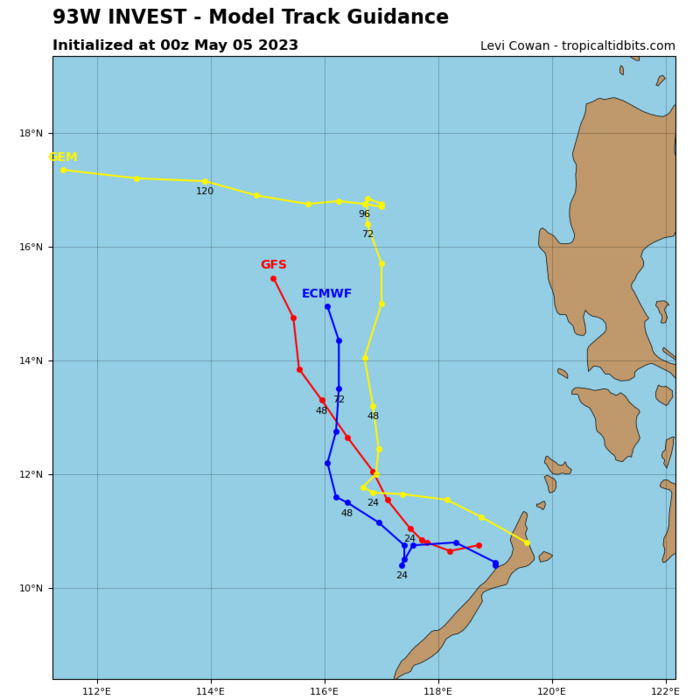
WESTERN NORTH PACIFIC: INVEST 93W. ESTIMATED LOCATION AND INTENSITY AT 05/06UTC. ADVISORY(ABPW) ISSUED AT 05/06UTC.
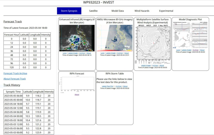
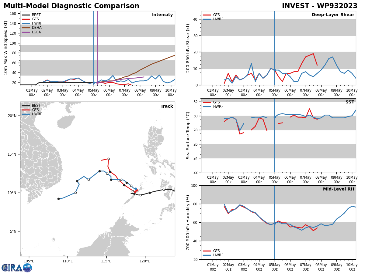
THE AREA OF CONVECTION (INVEST 93W) PREVIOUSLY LOCATED NEAR 9.9N 120.0E IS NOW LOCATED NEAR 9.9N 118.2E, APPROXIMATELY 32 NM WEST- NORTHWEST OF PUERTO PRINCESA, PHILIPPINES. ANIMATED MSI AND AN 89GHZ AMSU-B MICROWAVE IMAGE DEPICT SPARSE, FLARING CONVECTION WRAPPING AROUND A BROAD AND DISORGANIZED LLC. ADDITIONALLY, A 050153Z PARTIAL ASCAT METOP-B PASS CONFIRMS A BROAD CIRCULATION WITH 15-20KT WINDS NEAR THE CENTER AND A SWATH OF 20-25KT WINDS WELL TO THE EAST OF THE CENTER, LIKELY ENHANCED BY FUNNELING OF LOW-LEVEL FLOW THROUGH THE PHILIPPINE ISLANDS. 93W'S ENVIRONMENT HAS BECOME INCREASINGLY FAVORABLE, CHARACTERIZED BY MODERATE UPPER-LEVEL DIVERGENCE, WARM SSTS (29-30C) AND LOW (5-10KTS) VWS. A SURFACE OBSERVATION FROM PUERTO PRINCESA REPORTS AN MSLP OF 1005 MB. GLOBAL MODELS ARE IN AGREEMENT THAT 93W WILL TRACK GENERALLY WEST-NORTHWESTWARD OVER THE NEXT 24-72 HOURS. ALTHOUGH THE ENVIRONMENT IS FAVORABLE OVERALL, THE WEAK LOW-LEVEL STRUCTURE AND INTERACTION WITH LAND WILL LIKELY CONTINUE TO HINDER DEVELOPMENT IN THE NEAR-TERM. MAXIMUM SUSTAINED SURFACE WINDS ARE ESTIMATED AT 18 TO 23 KNOTS. MINIMUM SEA LEVEL PRESSURE IS ESTIMATED TO BE NEAR 1005 MB. THE POTENTIAL FOR THE DEVELOPMENT OF A SIGNIFICANT TROPICAL CYCLONE WITHIN THE NEXT 24 HOURS REMAINS MEDIUM.
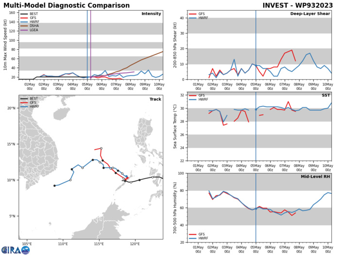
GLOBAL MODELS ARE IN AGREEMENT THAT 93W WILL TRACK GENERALLY WEST-NORTHWESTWARD OVER THE NEXT 24-72 HOURS. ALTHOUGH THE ENVIRONMENT IS FAVORABLE OVERALL, THE WEAK LOW-LEVEL STRUCTURE AND INTERACTION WITH LAND WILL LIKELY CONTINUE TO HINDER DEVELOPMENT IN THE NEAR-TERM.
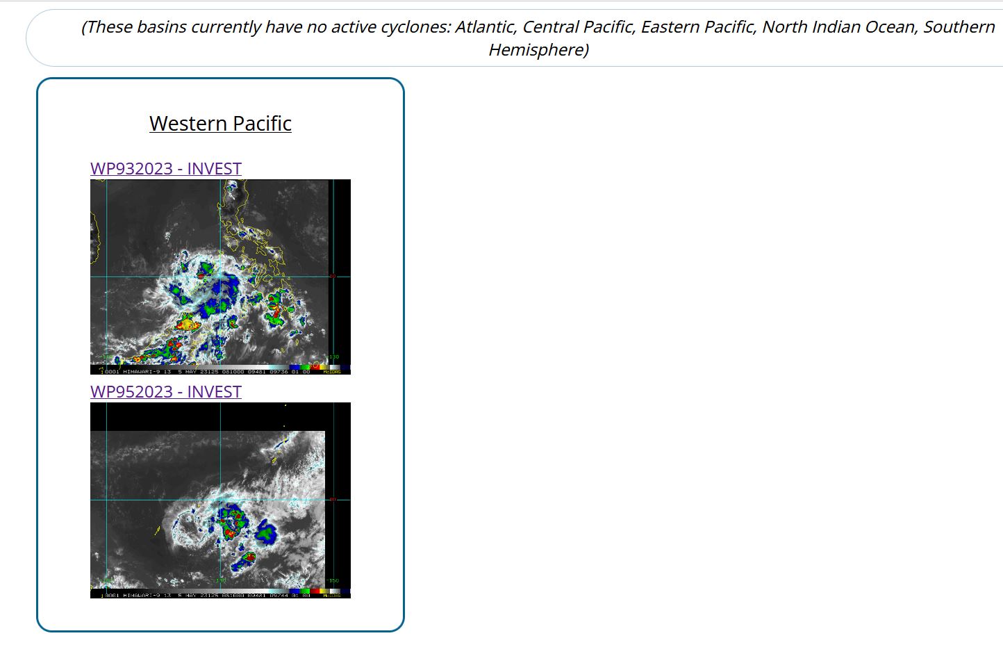
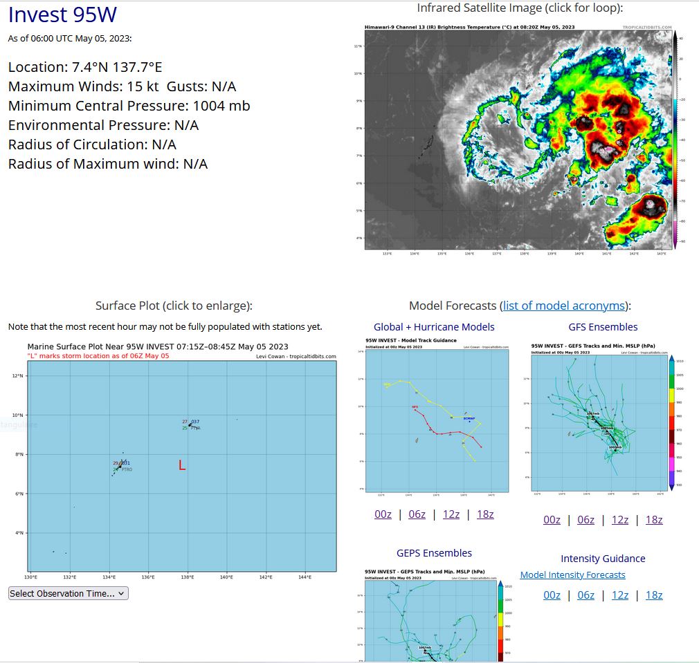
WESTERN NORTH PACIFIC: INVEST 95W. ESTIMATED LOCATION AND INTENSITY AT 05/06UTC.
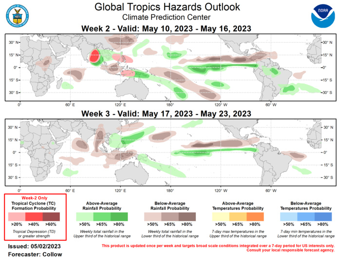
Last Updated - 05/02/23 Valid - 05/10/23 - 05/23/23 Following an active Madden Julian Oscillation (MJO) propagation across the Western Hemisphere during mid- to late-April, the RMM-based MJO index now resides on the border of the Indian Ocean and Maritime Continent. Both the ECMWF and GEFS ensembles depict strengthening of the MJO over the Maritime Continent in the coming days, followed by quick propagation into the Western Pacific by week-2. Beyond that, the forecast becomes more uncertain, with the ECMWF and GEFS ensemble means weakening the MJO by mid-May, while some individual ensemble members as well as the BOMM ensemble continue propagating the signal into the Western Hemisphere. A wave-1 asymmetry has been apparent in the spatial upper-level velocity potential field for the past several weeks, and this is forecast to remain as the overall convective envelope shifts eastward. Anomalous divergence aloft is forecast to expand across the Maritime Continent and Pacific, with anomalous convergence aloft forecast to build over Africa and the Indian Ocean during weeks 2 and 3. The active MJO over the Maritime Continent may drive a pattern change to warmer temperatures across the central and eastern U.S. by mid-May, although moderation is possible by the end of the month if the MJO moves back into the Western Hemisphere. No new tropical cyclones (TCs) developed during the past week. TC formation potential is forecast to increase across the North Indian Ocean as well as over the Western Pacific on both sides of the equator as the enhanced convective envelope moves over these areas. Much of the uncertainty is tied to the exact timing of TC formation, particularly across the Bay of Bengal where the GEFS and ECMWF ensembles are both indicating the formation of a TC around the boundary between week-1 and week-2. A 40 percent chance of TC development is highlighted across the Bay of Bengal for week-2, with the aforementioned timing uncertainty precluding higher confidence. Across the Pacific, it is becoming more likely that Invest 93W, located near the Philippines, develops into a TC during week-1 (50 percent chance according to the Joint Typhoon Warning Center). However, the favorable convective environment aloft supports at least a 20% chance for additional TC development during week-2 across the South China Sea and extending east of the Philippines, consistent with TC formation climatology for mid-May. TC formation probabilities are also elevated in the ECMWF to the south of the equator, across the Arafura, Timor, and Banda Seas between the north coast of Australia and Indonesia, where a 20 percent chance for TC development is indicated. There is again uncertainty regarding the formation time, with the possibility a system develops prior to week-2. The precipitation outlooks for weeks 2 and 3 are based on a consensus of GEFS, ECMWF, CFS and Canadian dynamical model guidance, and historical MJO composites. Above normal rainfall is forecast across the Bay of Bengal during week-2 tied to potential TC activity. By week-3, the suppressed phase of the MJO is forecast to move into the Indian Ocean, favoring below normal rainfall. Above normal rainfall is forecast to continue across the eastern Pacific along the equator during weeks 2 and 3, extending into parts of Colombia and Ecuador. For hazardous weather conditions in your area during the coming two-week period, please refer to your local NWS office, the Medium Range Hazards Forecast produced by the Weather Prediction Center, and the CPC Week-2 Hazards Outlook. Forecasts made over Africa are made in coordination with the International Desk at CPC.
