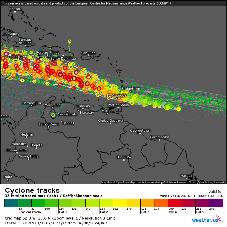
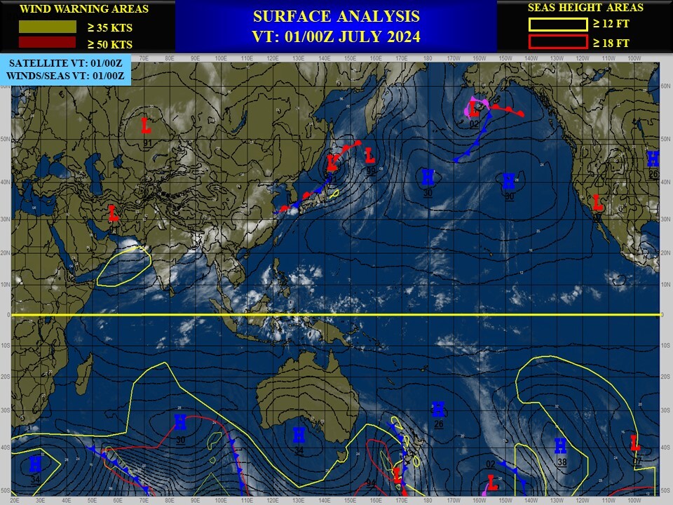
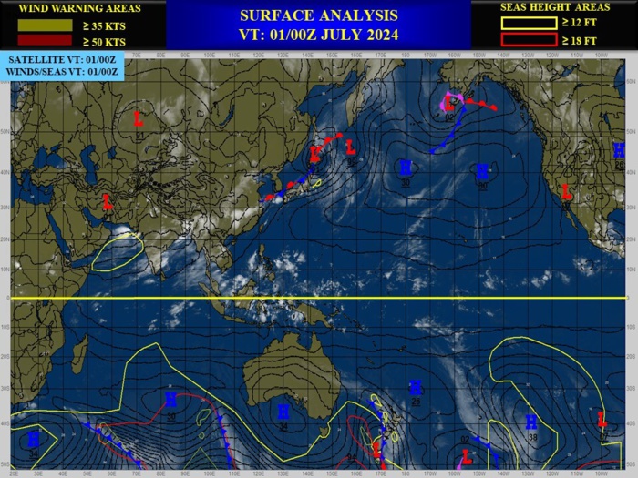
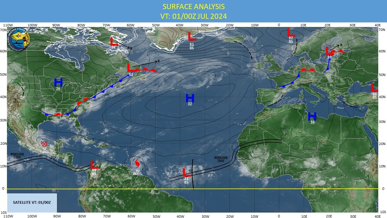
CLICK ON THE IMAGERIES BELOW TO GET THEM ENLARGED
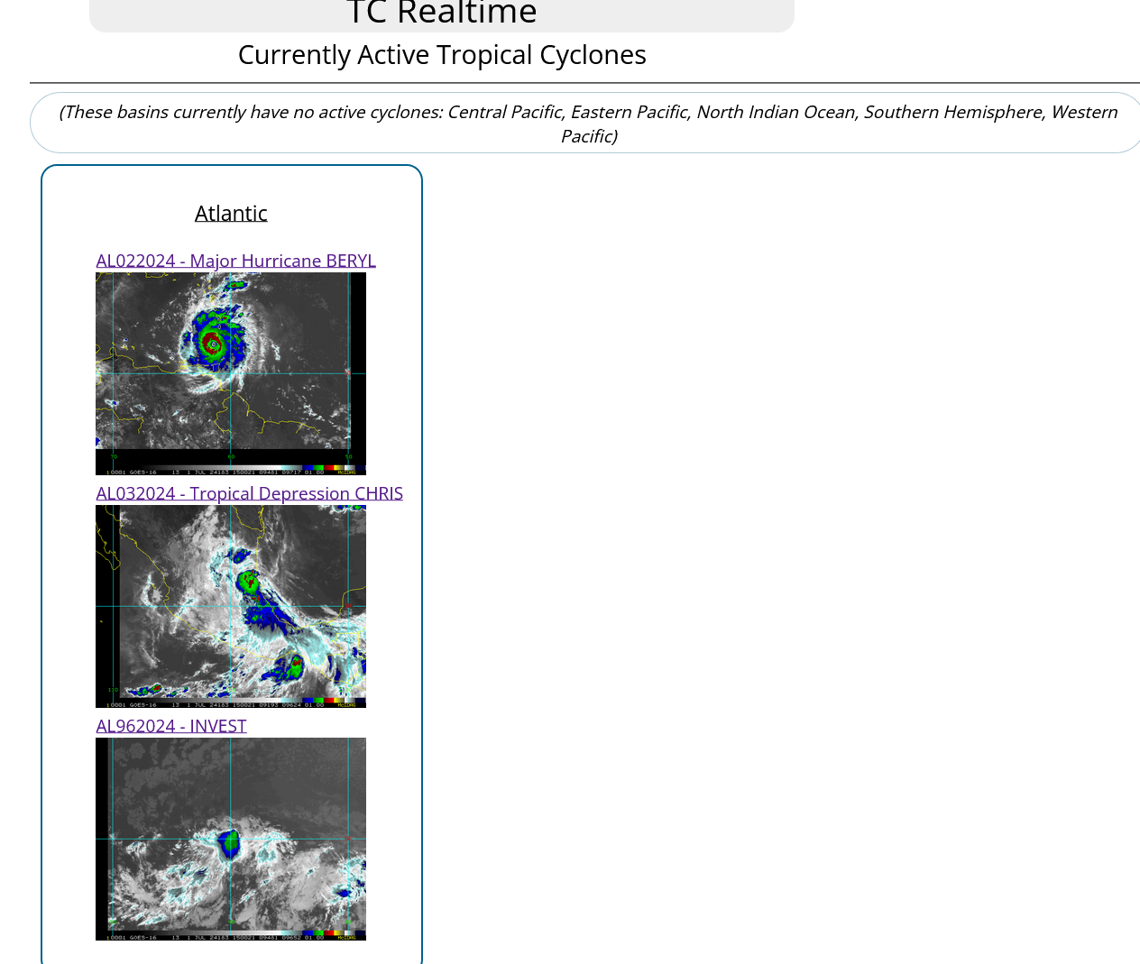
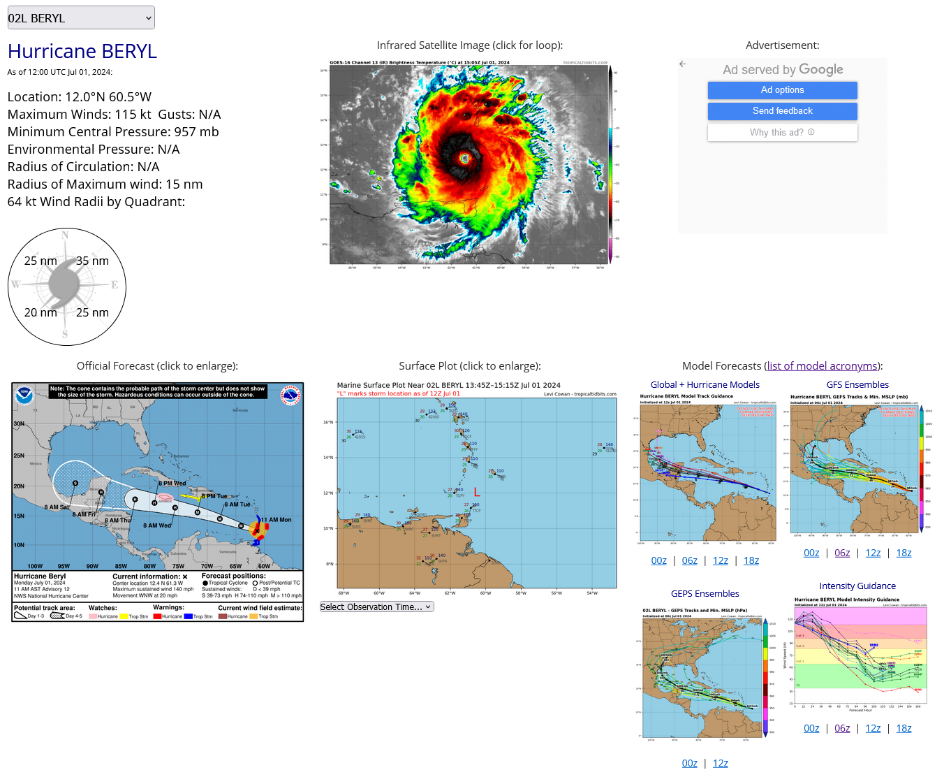
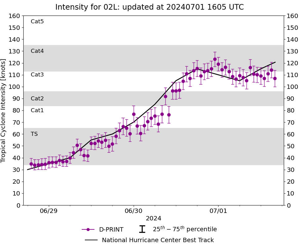
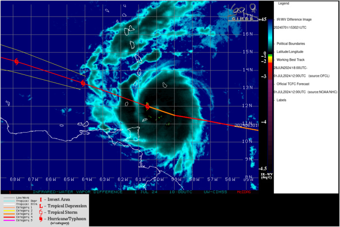
NORTH ATLANTIC OCEAN: HU 02L(BERYL). ESTIMATED LOCATION AND INTENSITY AT 01/12UTC. INTENSITY IS 115 KNOTS/CAT 4 US: +10 KNOTS OVER 24H
0224063000 102N 503W 70
0224063006 105N 522W 85
0224063012 106N 540W 105
0224063018 109N 557W 115
0224070100 112N 573W 110
0224070106 115N 590W 105
0224070112 120N 605W 115
0224063006 105N 522W 85
0224063012 106N 540W 105
0224063018 109N 557W 115
0224070100 112N 573W 110
0224070106 115N 590W 105
0224070112 120N 605W 115
ESTIMATED INTENSITY IS 120 KNOTS/CAT 4 US AT 01/15UTC
CLICK ON THE IMAGERY BELOW TO GET IT ANIMATED AND ENLARGED
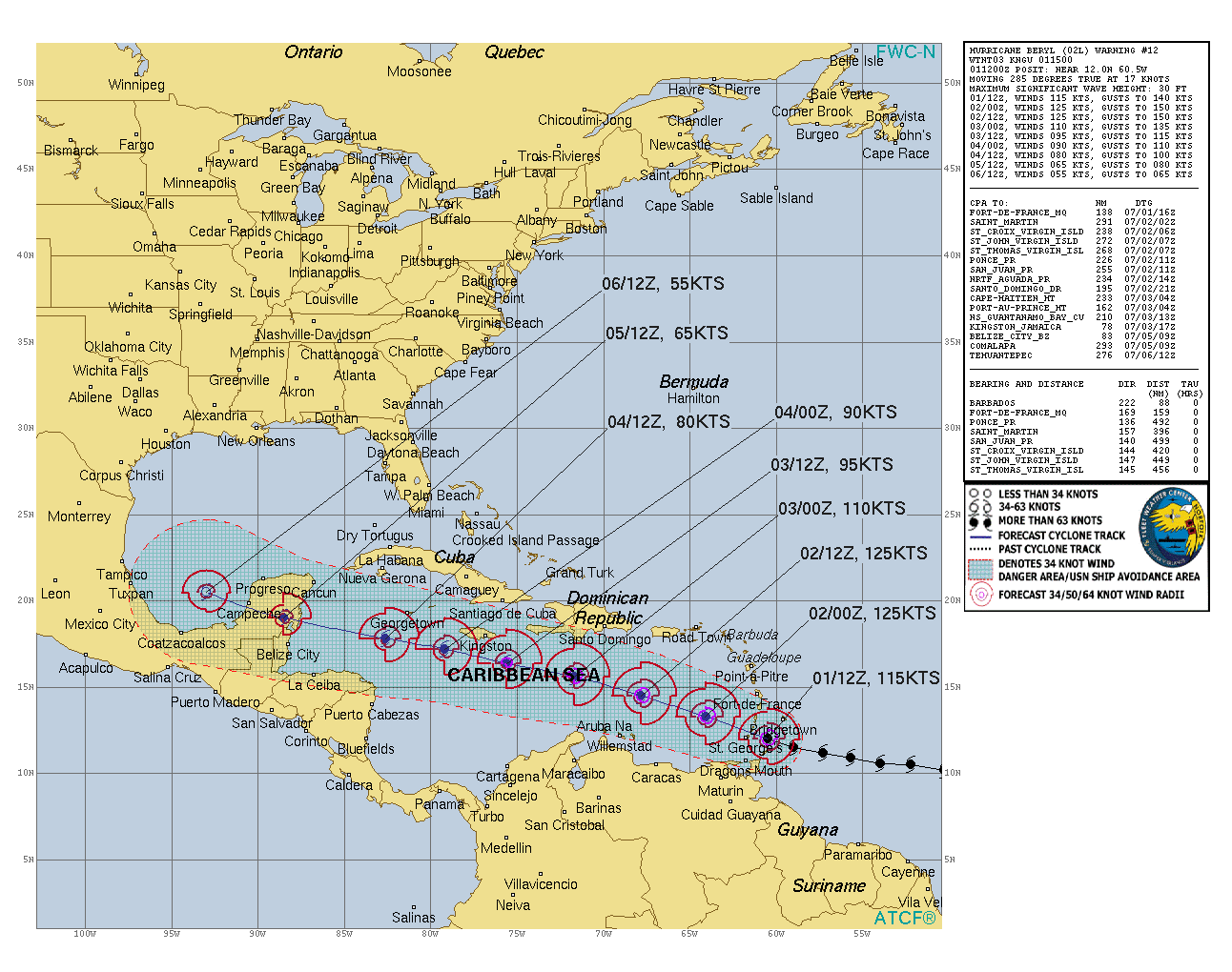
TC Warning Graphic: WARNING 12 ISSUED AT 01/15UTC+ NHC DISCUSSION
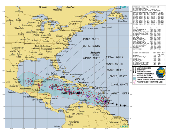
Hurricane Beryl Discussion Number 12 NWS National Hurricane Center Miami FL AL022024 1100 AM AST Mon Jul 01 2024 Satellite and radar data this morning suggest Beryl has completed an eyewall replacement cycle. Radar images from Barbados show a solid ring of deep convection surrounding the warming, well-defined eye of the hurricane. Data collected by the NOAA and Air Force Hurricane Hunters this morning confirm that Beryl has strengthened. Dropsondes indicate the central pressure has fallen to around 956 mb, and the earlier flight-level winds and SFMR data supported an intensity of around 115 kt a couple of hours ago. The hurricane's satellite structure has continued to improve this morning, and recent objective satellite estimates justify raising the initial intensity to 120 kt. The core of the powerful hurricane is nearing Carriacou Island, Grenada, and the Grenadine Islands, where conditions are rapidly deteriorating and residents should take action to protect their lives. Aircraft and radar fixes indicate Beryl has jogged northwestward over the past several hours, and the initial estimated motion is west-northwest or 285/17 kt. The hurricane is currently moving across the southern Windward Islands. A mid-level steering ridge to the north of Beryl should steer the hurricane quickly west-northwestward to westward across the Caribbean Sea during the next few days as a mid-level ridge strengthens to the north of the cyclone. This portion of the track forecast is very similar to the previous advisory, and the NHC forecast remains close to the multi-model consensus aids. At days 3-5, there is some increased spread in the track guidance, likely regarding the strength of the steering ridge as Beryl approaches the northwestern Caribbean Sea and the Yucatan Peninsula. This portion of the forecast was nudged slightly north of the previous one, but still lies south of the consensus aids. Since the eyewall replacement cycle has completed, the updated NHC forecast allows for some additional near-term strengthening based on recent aircraft data and the improved satellite and radar structure of the hurricane. As previously noted, an increase in westerly shear is expected by midweek, which is expected to induce some weakening while Beryl moves across the central and northwestern Caribbean Sea. This is reflected in the latest NHC prediction that follows the multi-model consensus trends. Regardless, Beryl is forecast to remain a powerful hurricane through late this week, and interests in the northwestern Caribbean and the Yucatan Peninsula should continue to monitor the latest forecast updates. Based on the latest NHC forecast, the government of Jamaica has issued a Hurricane Watch for the island. Key Messages: 1. The eyewall of Beryl is moving through the southern Windward Islands. This is an extremely dangerous and life-threatening situation. Take action now to protect your life! Residents in Grenada, the Grenadine Islands, and Carriacou Island should not leave their shelter as destructive winds and life-threatening storm surge are expected during the next few hours. Shelter in place through the passage of these life-threatening conditions and do not venture out in the eye of the storm. 2. Heavy rainfall and localized flash flooding are expected across the Windward Islands through this afternoon. 3. Beryl is expected to remain a powerful hurricane as it moves across the Caribbean Sea later this week. A Hurricane Watch has been issued for Jamaica. Interests in the Cayman Islands, Belize, the Yucatan Peninsula, and the remainder of the northwestern Caribbean should monitor its progress. Additional watches and warnings will likely be required during the next day or two. FORECAST POSITIONS AND MAX WINDS INIT 01/1500Z 12.4N 61.3W 120 KT 140 MPH 12H 02/0000Z 13.3N 64.1W 125 KT 145 MPH 24H 02/1200Z 14.5N 67.8W 125 KT 145 MPH 36H 03/0000Z 15.6N 71.7W 110 KT 125 MPH 48H 03/1200Z 16.4N 75.6W 95 KT 110 MPH 60H 04/0000Z 17.2N 79.2W 90 KT 105 MPH 72H 04/1200Z 17.8N 82.6W 80 KT 90 MPH 96H 05/1200Z 19.0N 88.5W 65 KT 75 MPH...INLAND 120H 06/1200Z 20.5N 93.0W 55 KT 65 MPH...OVER WATER $$ Forecaster Reinhart
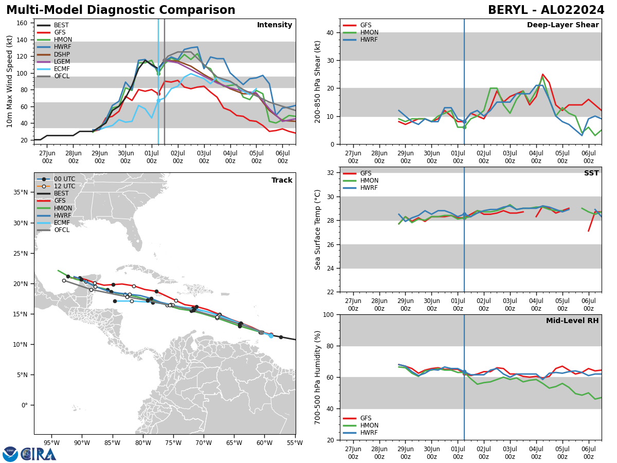
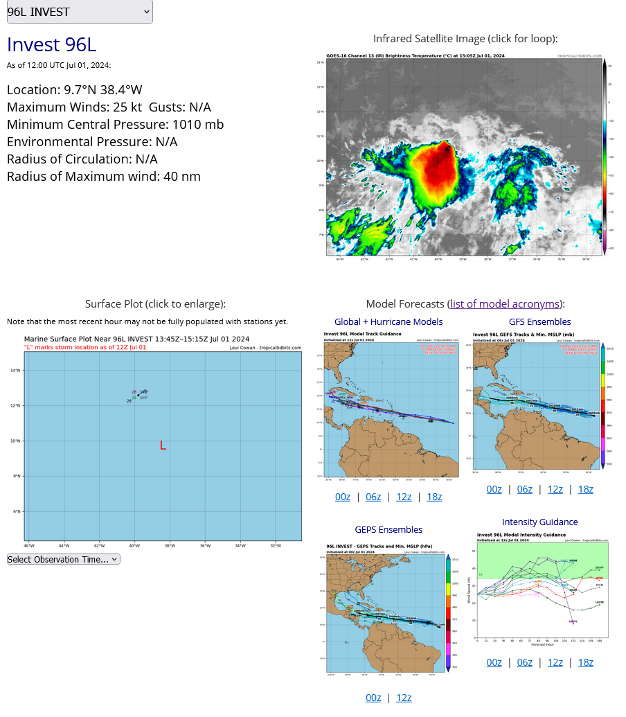
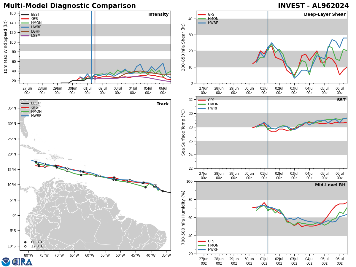
Model Diagnostic Plot
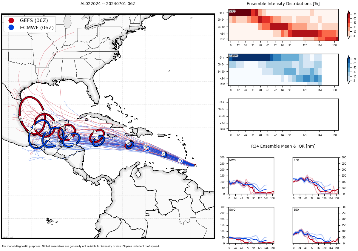
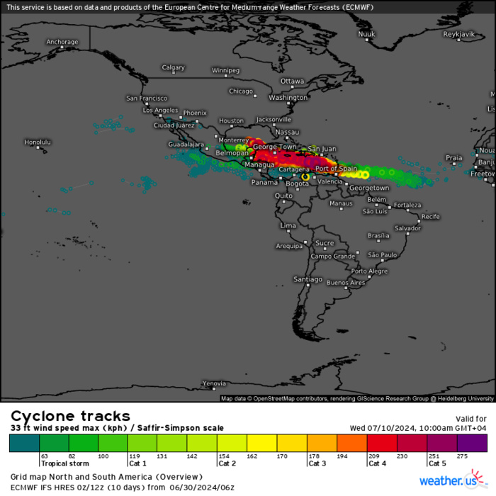
Ensemble Track Ellipses
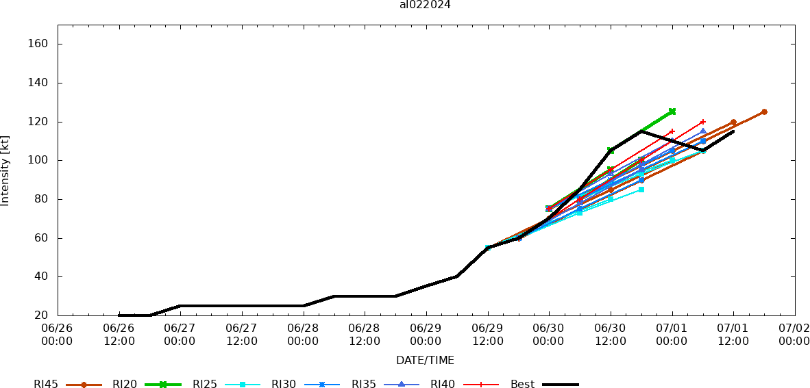
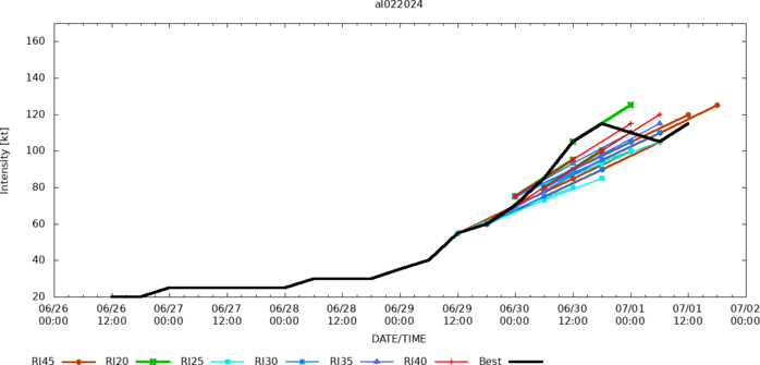
Rapid Intensification Guidance
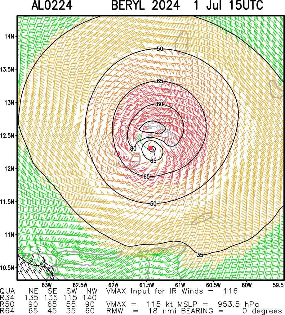
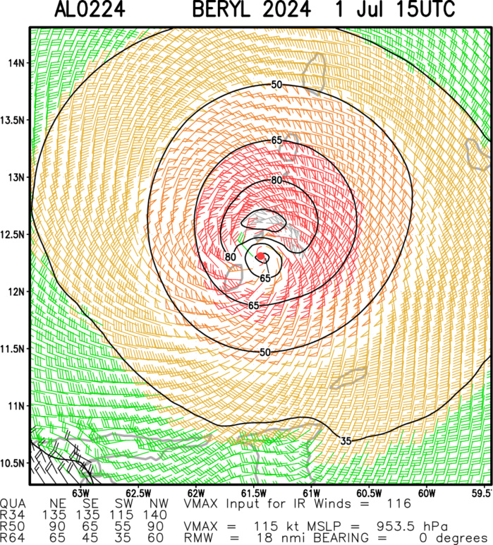
Multiplatform Satellite Surface Wind Analysis (Experimenta
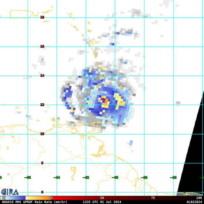
GPROF Surface Precipitation Rate 07/01 1335UTC
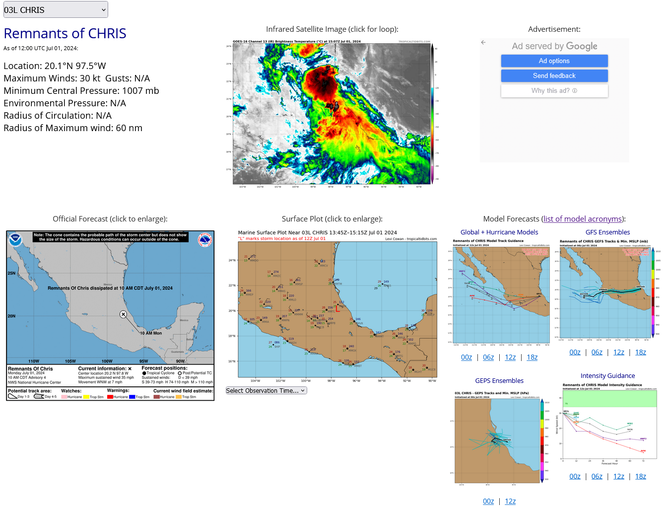
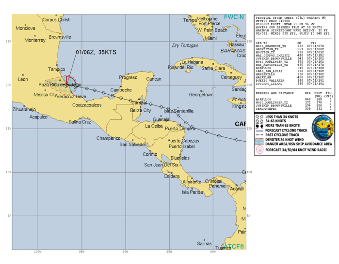
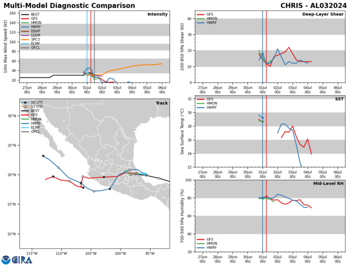
NORTH ATLANTIC OCEAN: REMNANTS OF TS 03L(CHRIS). ESTIMATED LOCATION AND INTENSITY AT 01/12UTC. INTENSITY IS 30 KNOTS. PEAK INTENSITY WAS 35 KNOTS
0324062418 103N 555W 30
0324062500 108N 580W 30
0324062506 112N 606W 25
0324062512 117N 632W 25
0324062518 122N 660W 25
0324062600 127N 689W 25
0324062606 130N 718W 25
0324062612 133N 746W 25
0324062618 137N 773W 25
0324062700 142N 793W 25
0324062706 146N 807W 25
0324062712 152N 824W 25
0324062718 157N 831W 25
0324062800 165N 839W 25
0324062806 170N 845W 25
0324062812 173N 851W 25
0324062818 175N 859W 30
0324062900 178N 871W 30
0324062906 180N 882W 30
0324062912 182N 894W 30
0324062918 185N 905W 30
0324063000 188N 915W 30
0324063006 191N 925W 30
0324063012 194N 935W 30
0324063018 196N 944W 30
0324070100 199N 957W 35
0324070106 200N 967W 35
0324070112 201N 975W 35
