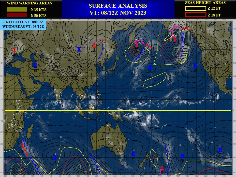
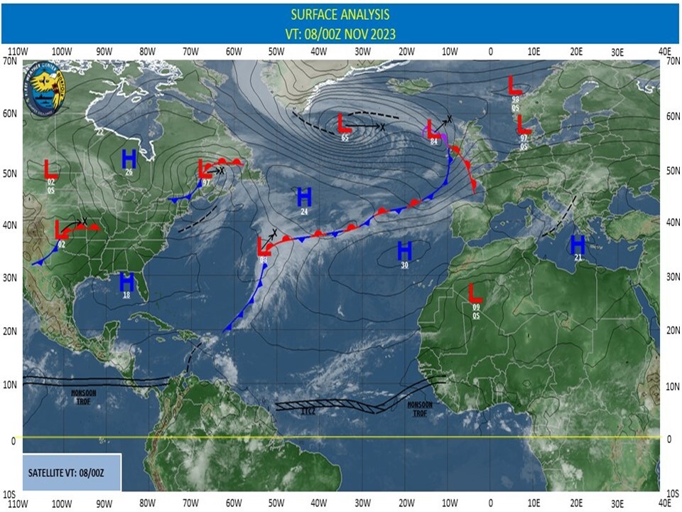
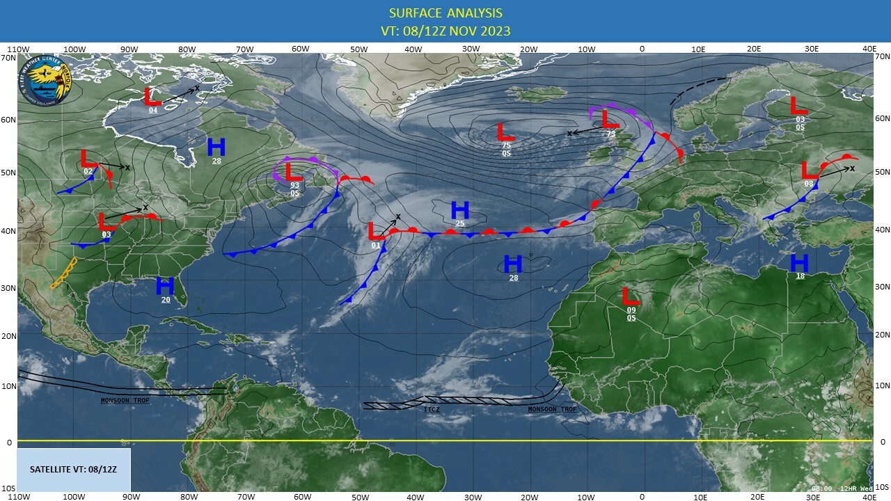
CLICK ON THE IMAGERIES BELOW TO GET THEM ENLARGED
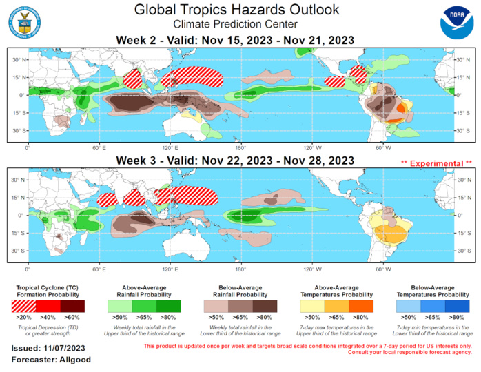
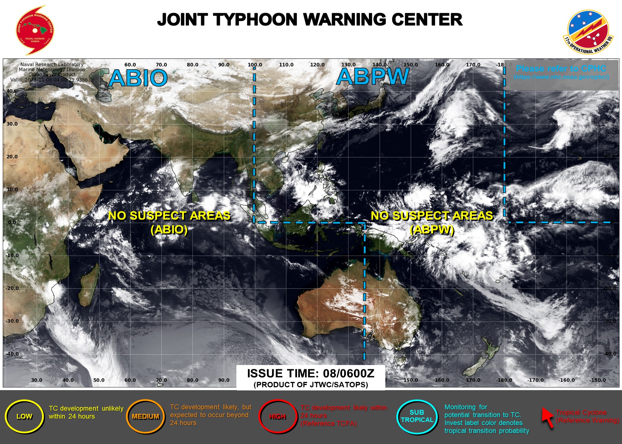
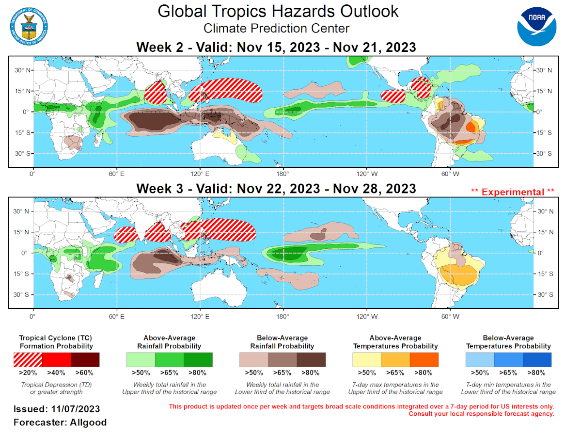
GTH Outlook Discussion Last Updated - 11/07/23 Valid - 11/15/23 - 11/28/23 The global tropical convective pattern remains primarily influenced by stationary low frequency signals, most notably a strongly positive phase of the Indian Ocean Dipole (+IOD) and El Nino. Both the +IOD event and El Nino are contributing to strong anomalous subsidence over the eastern Indian Ocean and Maritime Continent, while enhanced convection has persisted over equatorial Africa, the far western Indian Ocean, and the central Pacific. Strong low-level easterlies were observed over the Indian Ocean, consistent with the +IOD response, while trade winds remain largely disrupted across the central and eastern Pacific. During late October, a fast eastward propagating signal was observed in the upper-level velocity potential anomaly field, as well as the OLR field. This signal crossed the Pacific and Western Hemisphere, and has recently entered the western Indian Ocean basin. Dynamical model RMM-based MJO Index forecasts forecasts do not depict this signal crossing the Indian Ocean and Maritime Continent over the next week; however, renewed eastward propagation of this fast signal or a newly developing signal is forecast to cross the Pacific during late Week-1 and Week-2, potentially reaching the Western Hemisphere by Week-3. This activity, in conjunction with equatorial Rossby waves (ERWs), is favored to generate an unusually strong westerly wind burst (WWB) over the Equator just northeast of New Guinea. Recent observations already show this WWB event building due to ERW influence. In the shorter term, this WWB may promote tropical cyclogenesis over the Pacific, particularly the northwestern Pacific. In the longer term, strong westerly winds over the West Pacific may initiate renewed downwelling oceanic Kelvin wave activity, which would build oceanic heat across the East Pacific while reducing SSTs in the western Pacific. These alterations to the structure of the Pacific thermocline may help yield a more canonical eastern Pacific focused El Nino structure heading into the Boreal winter months. No new tropical cyclones formed globally during the past week. Across the Atlantic and East Pacific basins, climatological activity is beginning to rapidly trend downward. The suppressed phase of the Kelvin wave or fast intraseasonal signal is now crossing the East Pacific, and should help limit the potential for new tropical cyclone activity during Week-1. During Week-2, dynamical models favor an uptick in Central American Gyre activity, which may help promote late season development over the western Caribbean. Ensemble forecasts from the GEFS depict closed lows tracking northward from the western Caribbean, potentially brushing the Florida Keys or crossing the Bahamas before reaching the open Atlantic. Dynamical models are also beginning to depict a formation potential over the eastern portion of the East Pacific basin. Across the West Pacific, Rossby wave activity and the anticipated strong WWB favor tropical cyclogenesis, with potential formations occurring anywhere from the vicinity of Guam to the South China Sea. Later in Week-2, tropical cyclogenesis is possible in association with the ERW over the Bay of Bengal, and even the Arabian Sea by Week-3. While a strong WWB may also spark tropical cyclogenesis over the South Pacific, it is still climatologically early for development, and dynamical model forecasts show considerable subsidence persisting in the region. Forecasts for above- and below- average precipitation are based largely on an anticipated continuation of strong influences from the low frequency +IOD and ENSO base states. Due to the stationary nature of these signals, the regions favored for above (below) average precipitation do not change significantly from Week-2 to Week-3. Due to the persistent nature of these spells, flooding may increasingly become a concern for the Horn of Africa region and equatorial western South America. In contrast, drier conditions are favored to persist over the Maritime Continent and much of South America. The dryness in South America, coupled with periods of excessive heat, are posing increasing problems for agriculture, where many of the cereal grains and oilseeds are reaching their reproductive and filling growth stages.
